Main files
- [netherlands.pbf] - for osm2pgsql, Osmium, Osmosis, imposm, mkgmap, and others. This file was last modified -18 hours ago and contains all OSM data up to July 26 2024 11:55:02. File size: 1.08GB; MD5 sum: e9c0a606e0d8e0c5b148ef0e1f330a1f.
Additional Files
- [netherlands.poly] - file that describes the extent of this region. About POLY format
- [netherlands.geojson] - file that describes the extent of this region. About GeoJSON format
Sub regions
| Region | .pbf | .poly |
|---|---|---|
| Drenthe | [drenthe.pbf] (50.01MB) | [drenthe.poly] |
| Flevoland | [flevoland.pbf] (26.12MB) | [flevoland.poly] |
| friesland | [friesland.pbf] (71.37MB) | [friesland.poly] |
| Gelderland | [gelderland.pbf] (171.3MB) | [gelderland.poly] |
| Groningen | [groningen.pbf] (47.46MB) | [groningen.poly] |
| Limburg | [limburg.pbf] (89.3MB) | [limburg.poly] |
| North Brabant | [noord_brabant.pbf] (172.89MB) | [noord_brabant.poly] |
| North Holland | [noord_holland.pbf] (148.03MB) | [noord_holland.poly] |
| Overijssel | [overijssel.pbf] (95.85MB) | [overijssel.poly] |
| Utrecht | [utrecht.pbf] (74.92MB) | [utrecht.poly] |
| Zealand | [zeeland.pbf] (33.77MB) | [zeeland.poly] |
| South Holland | [zuid_holland.pbf] (163.89MB) | [zuid_holland.poly] |
Prepared geodata of Netherlands in the SHP format
You are getting:
- Fresh geo data from the Openstreetmap project in ESRI Shape format
- If necessary, we can provide data in the following formats: GeoPackage, GeoJSON, CSV, TAB
- Ready-made project for the QGIS 3 mapping program
- Styles for all layers
- 150+ icons
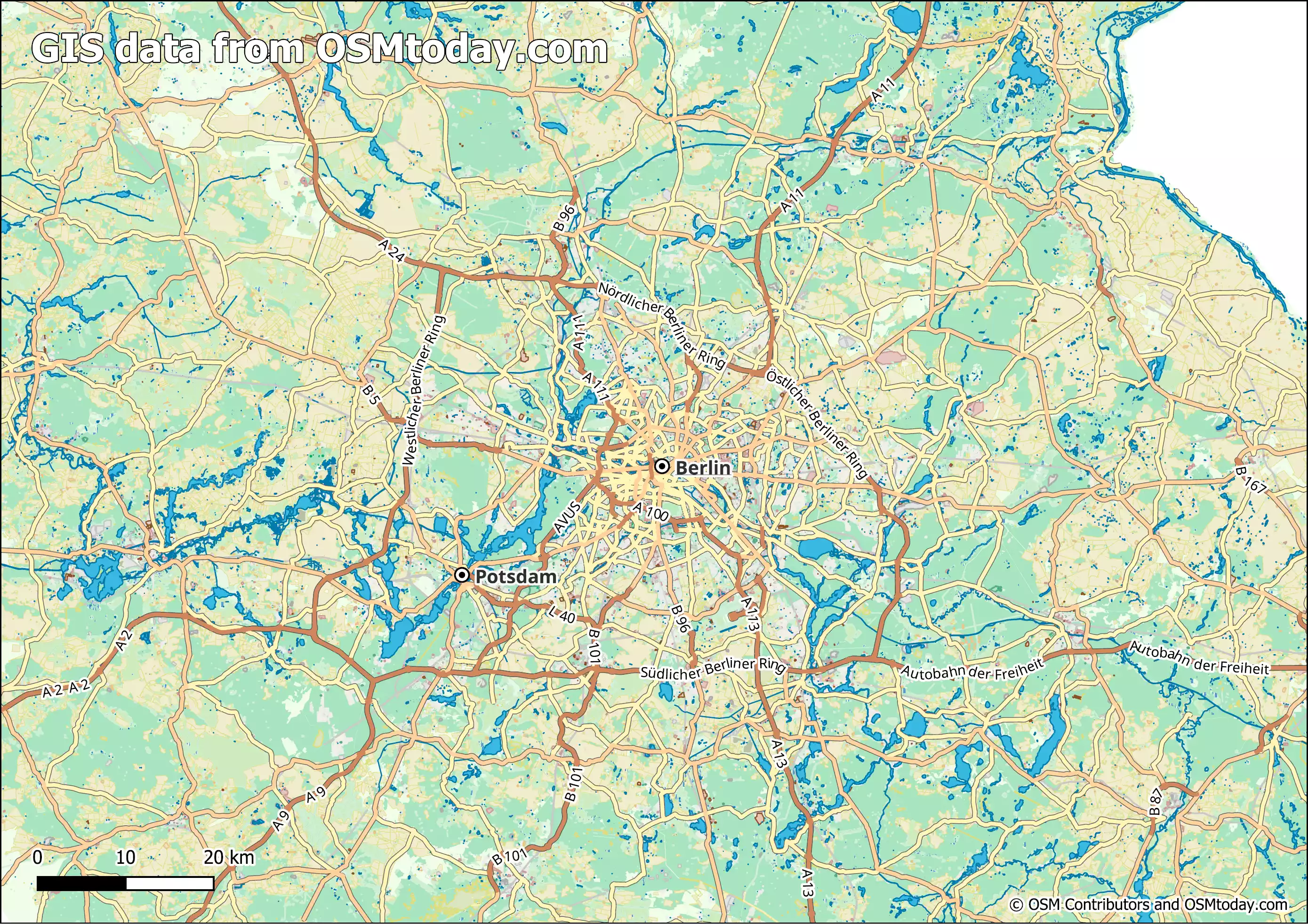
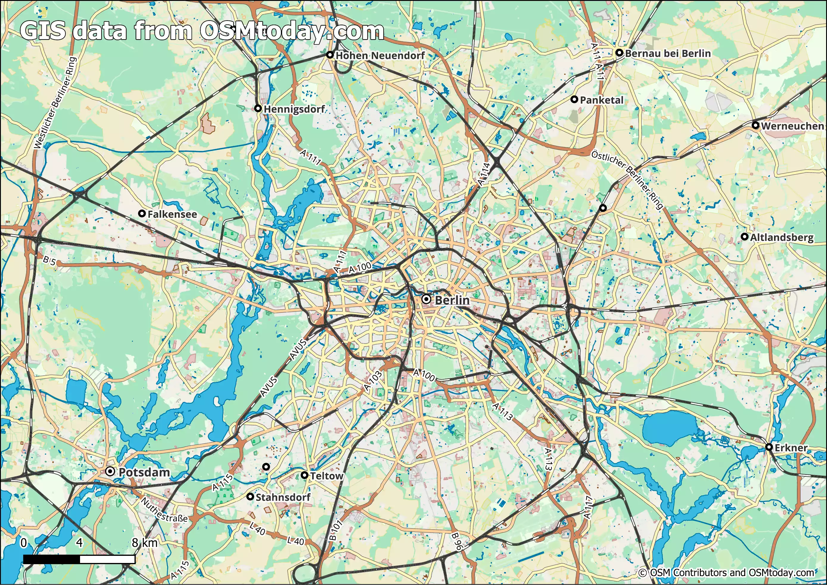
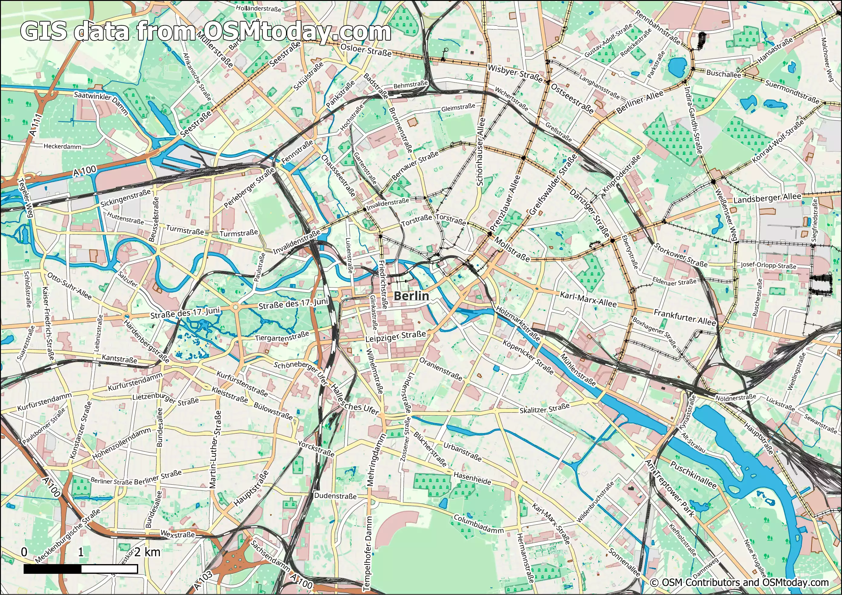
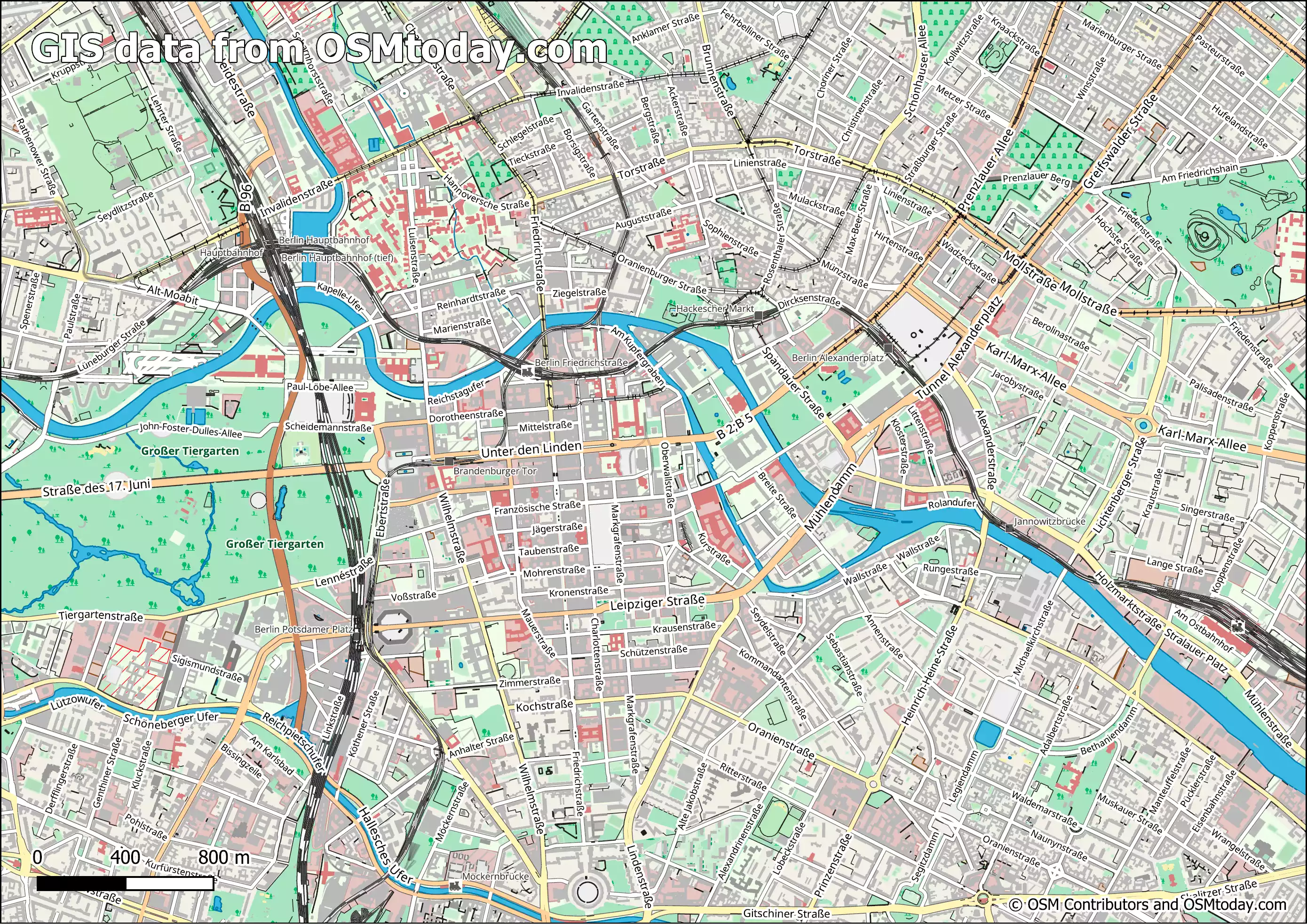
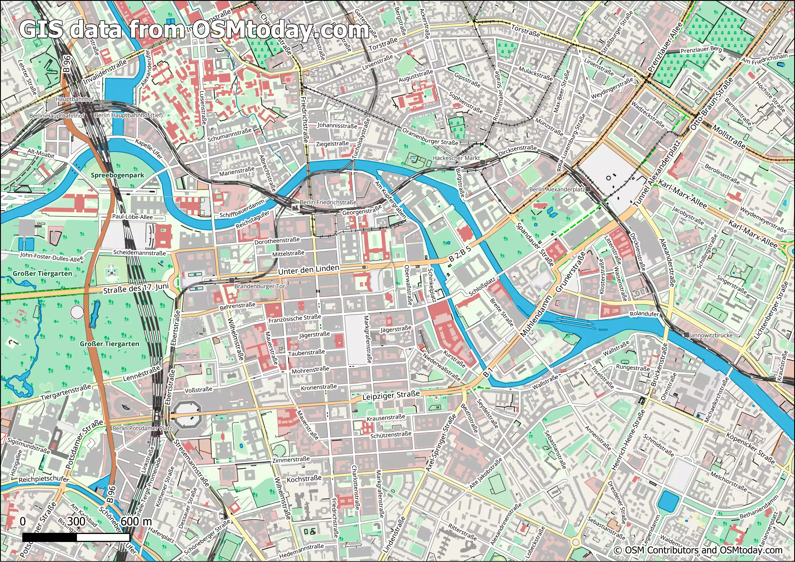
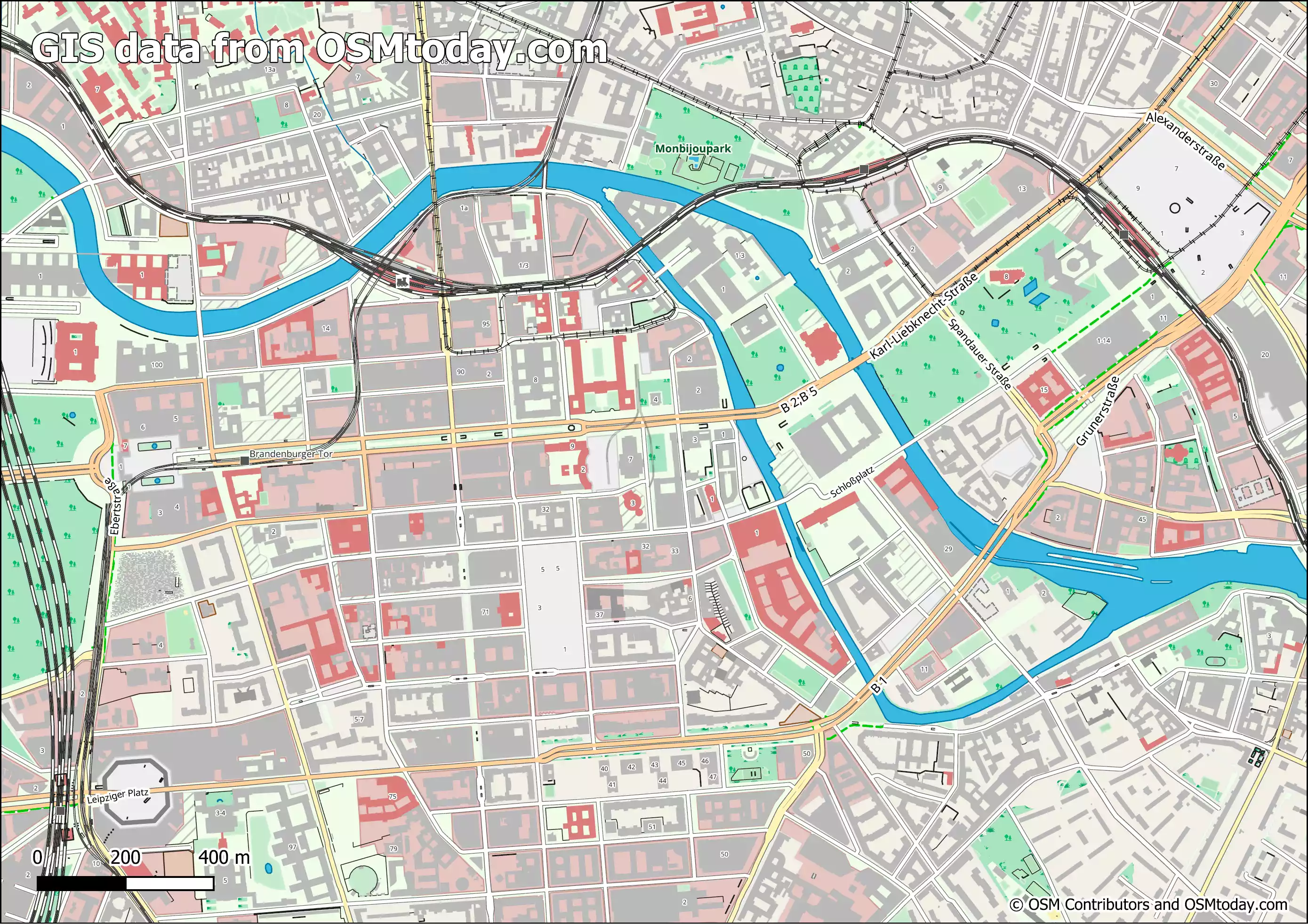
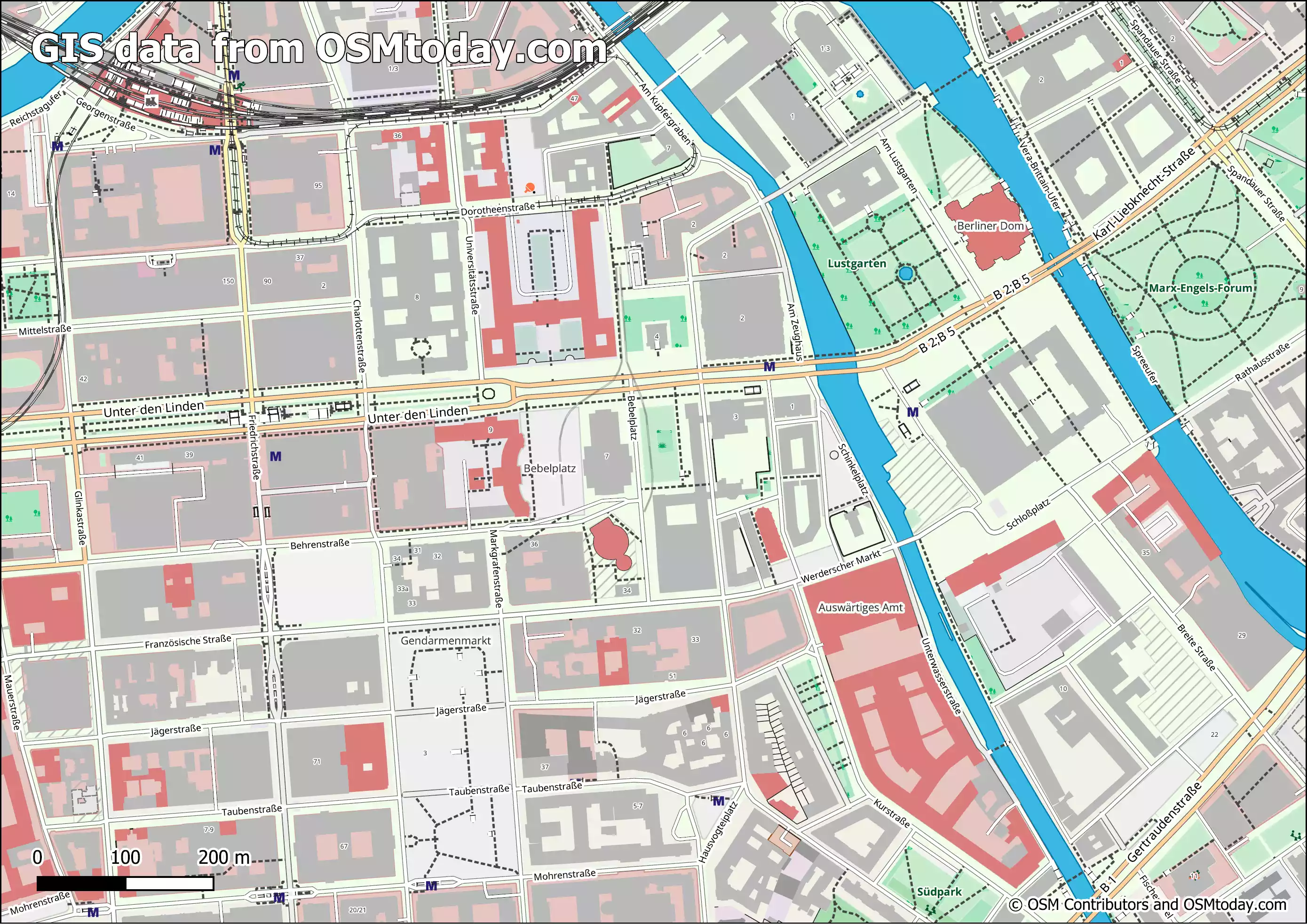
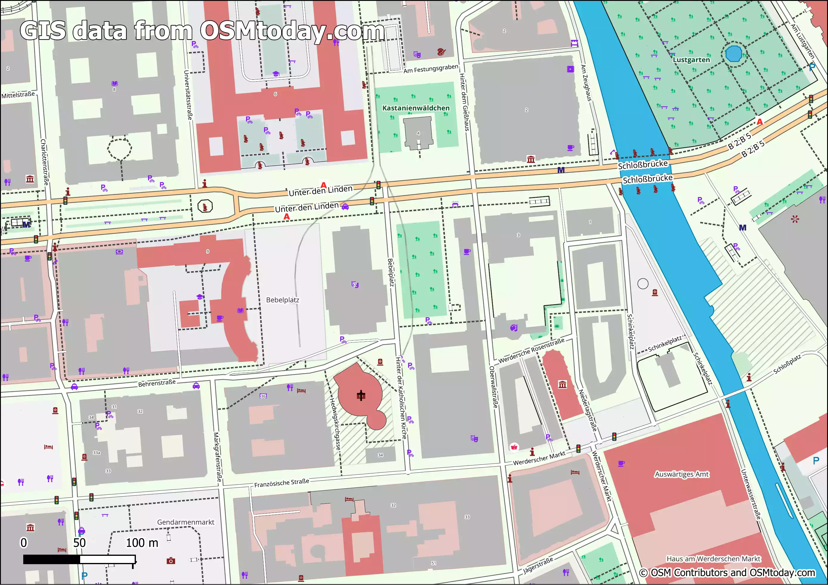
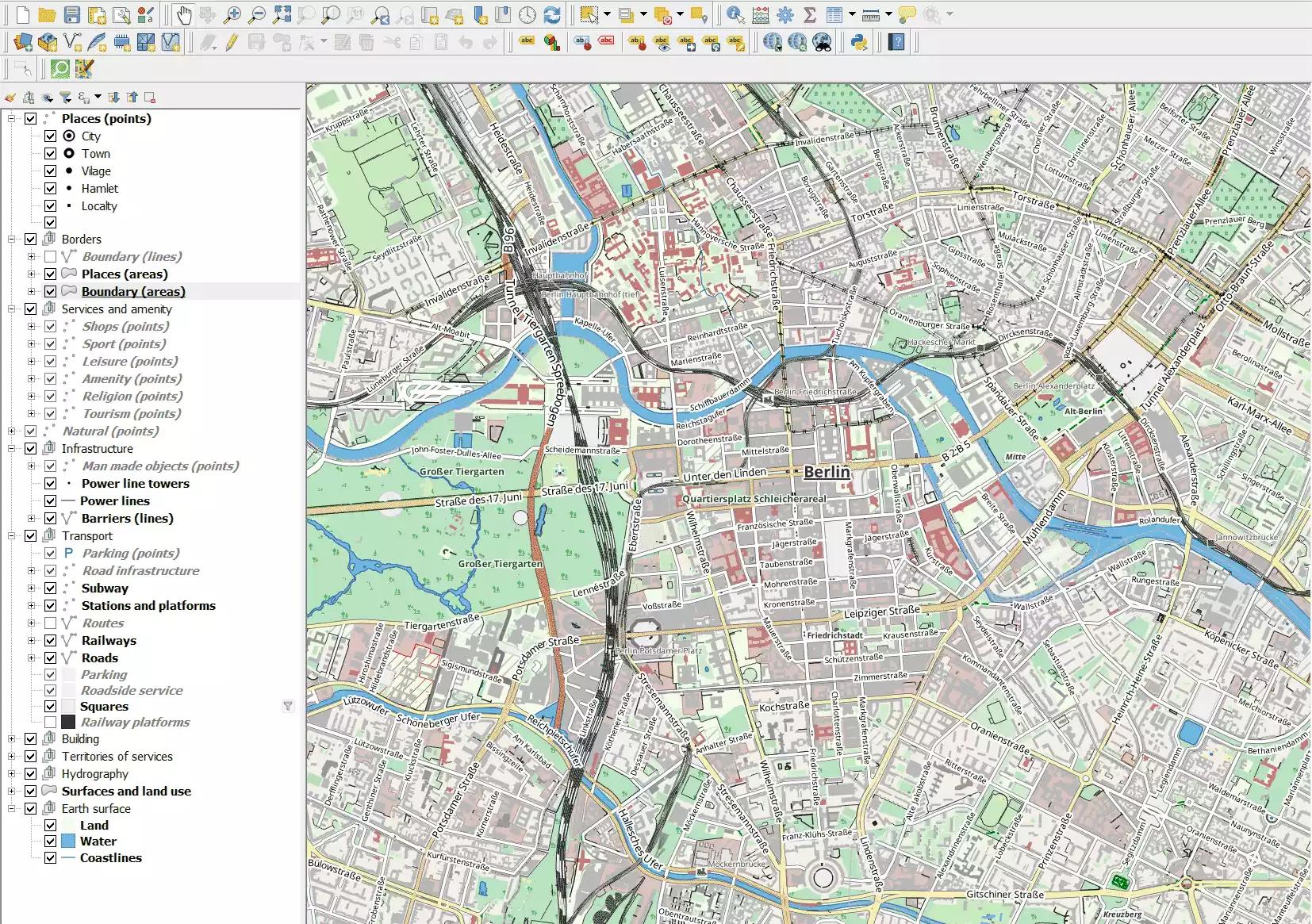
Sample of map
Netherlands map layers
Amenity (areas) 31537
Fields of layer: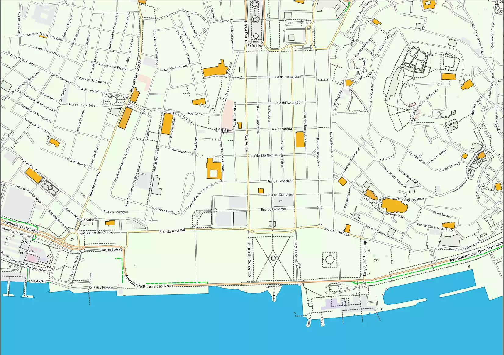
- osm_id — ID in OSM base
- name — Local name
- name_en — Name in English
- religion — religion field value
- amenity — amenity field value
- landuse — landuse field value
- leisure — leisure field value
- sport — sport field value
- type — type field value
- way — Geometry

Amenity (points) 201032
Fields of layer: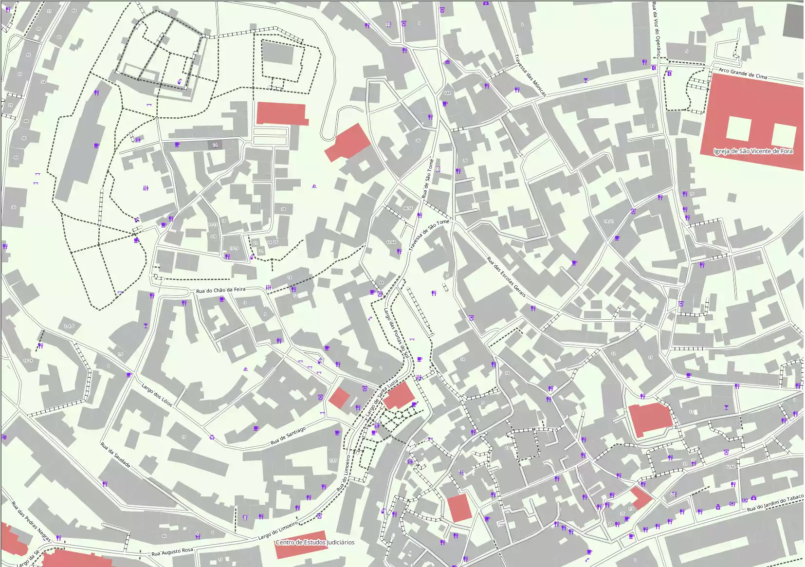
- osm_id — ID in OSM base
- name — Local name
- name_en — Name in English
- religion — religion field value
- amenity — amenity field value
- landuse — landuse field value
- leisure — leisure field value
- sport — sport field value
- type — type field value
- way — Geometry

Barriers (lines) 62196
Fields of layer: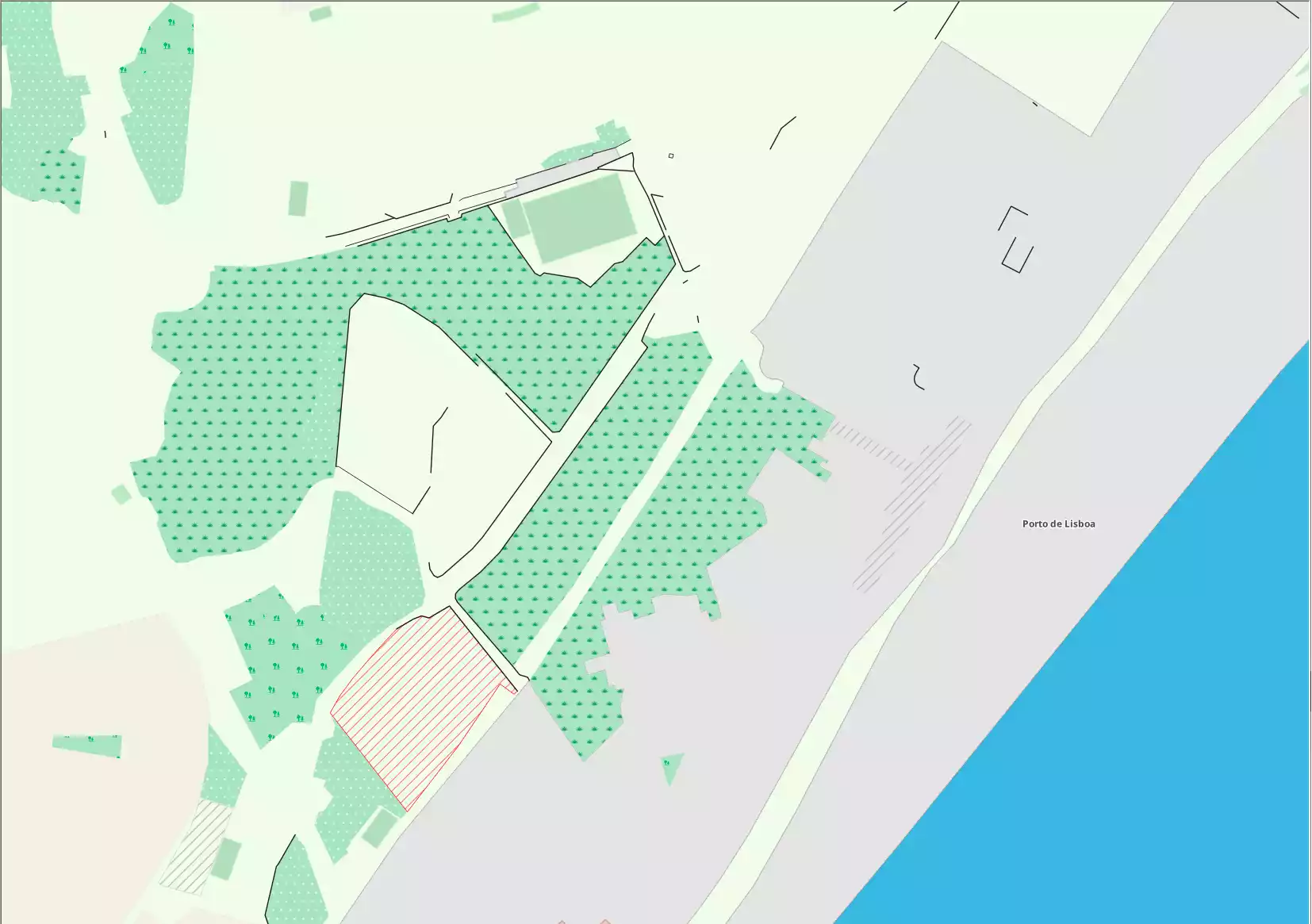
- osm_id — ID in OSM base
- barrier — barrier field value
- way — Geometry

Boundary (areas) 2998
Fields of layer: 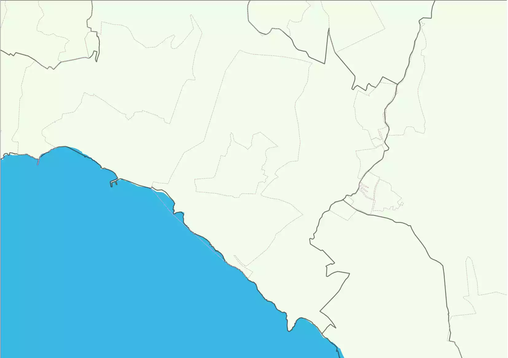
- osm_id — ID in OSM base
- name — Local name
- name_en — Name in English
- admin_level - Grade of administrative level
- way — Geometry

Boundary (lines) 12619
Fields of layer: 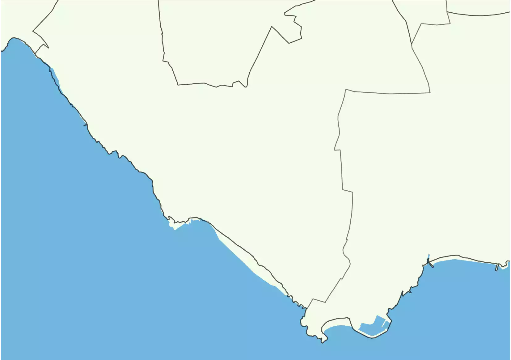
- osm_id — ID in OSM base
- name — Local name
- name_en — Name in English
- admin_level - Grade of administrative level
- way — Geometry

Building 11371603
Fields of layer: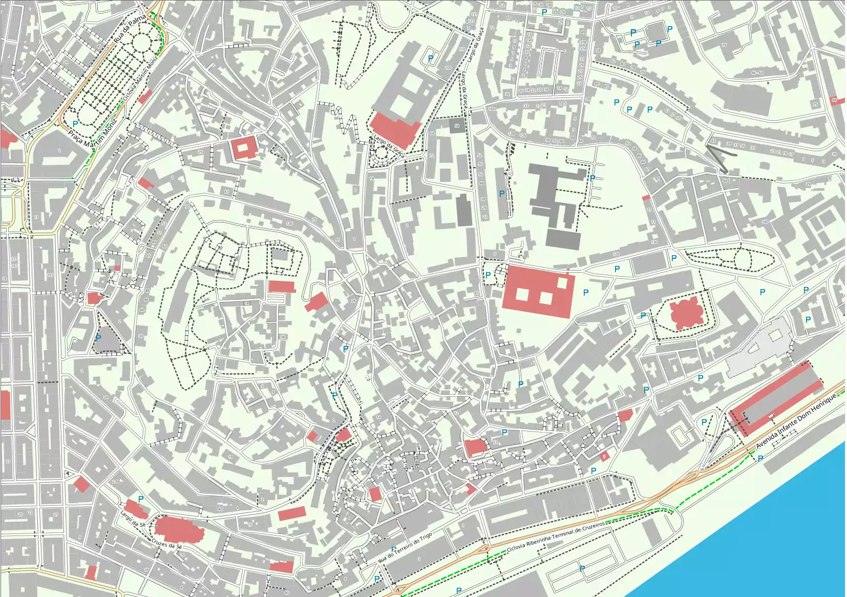
- osm_id — ID in OSM base
- name — Local name
- name_en — Name in English
- building — building field value
- b_level — building:levels field value
- a_numb — addr:housenumber field value
- way — Geometry

Buildings (points) 902
Fields of layer:
- osm_id — ID in OSM base
- name — Local name
- name_en — Name in English
- building — building field value
- b_level — building:levels field value
- a_numb — addr:housenumber field value
- way — Geometry

Surfaces and land use 2044021
Fields of layer:
- osm_id — ID in OSM base
- name — Local name
- name_en — Name in English
- natural — Natural field value
- landuse — Landuse field value
- wood — Wood field is not null
- leisure — Leisure field value
- way — Geometry

Leisure (areas) 26669
Fields of layer:
- osm_id — ID in OSM base
- name — Local name
- name_en — Name in English
- leisure — leisure field value
- way — Geometry
Leisure (points) 37989
Fields of layer:
- osm_id — ID in OSM base
- name — Local name
- name_en — Name in English
- leisure — leisure field value
- way — Geometry

Man made objects (points) 10376
Fields of layer:
- osm_id — ID in OSM base
- name — Local name
- man_made — man_made field valu
- tower_type — tower:type field value
- way — Geometry
Natural (points) 428100
Fields of layer:
- osm_id — ID in OSM base
- name — Local name
- natural — natural field value
- way — Geometry
Parking (areas) 102367
Fields of layer:
- osm_id — ID in OSM base
- name — Local name
- name_en — Name in English
- AMENITY — AMENITY field value
- way — Geometry

Parking (points) 113349
Fields of layer:
- osm_id — ID in OSM base
- name — Local name
- name_en — Name in English
- AMENITY — AMENITY field value
- way — Geometry

Places (areas) 1158
Fields of layer:
- osm_id — ID in OSM base
- name — Local name
- name_en — Name in English
- place — place field value
- official_s — official_status field value
- POPULATION — POPULATION field value
- way — Geometry
Places (points) 10044
Fields of layer: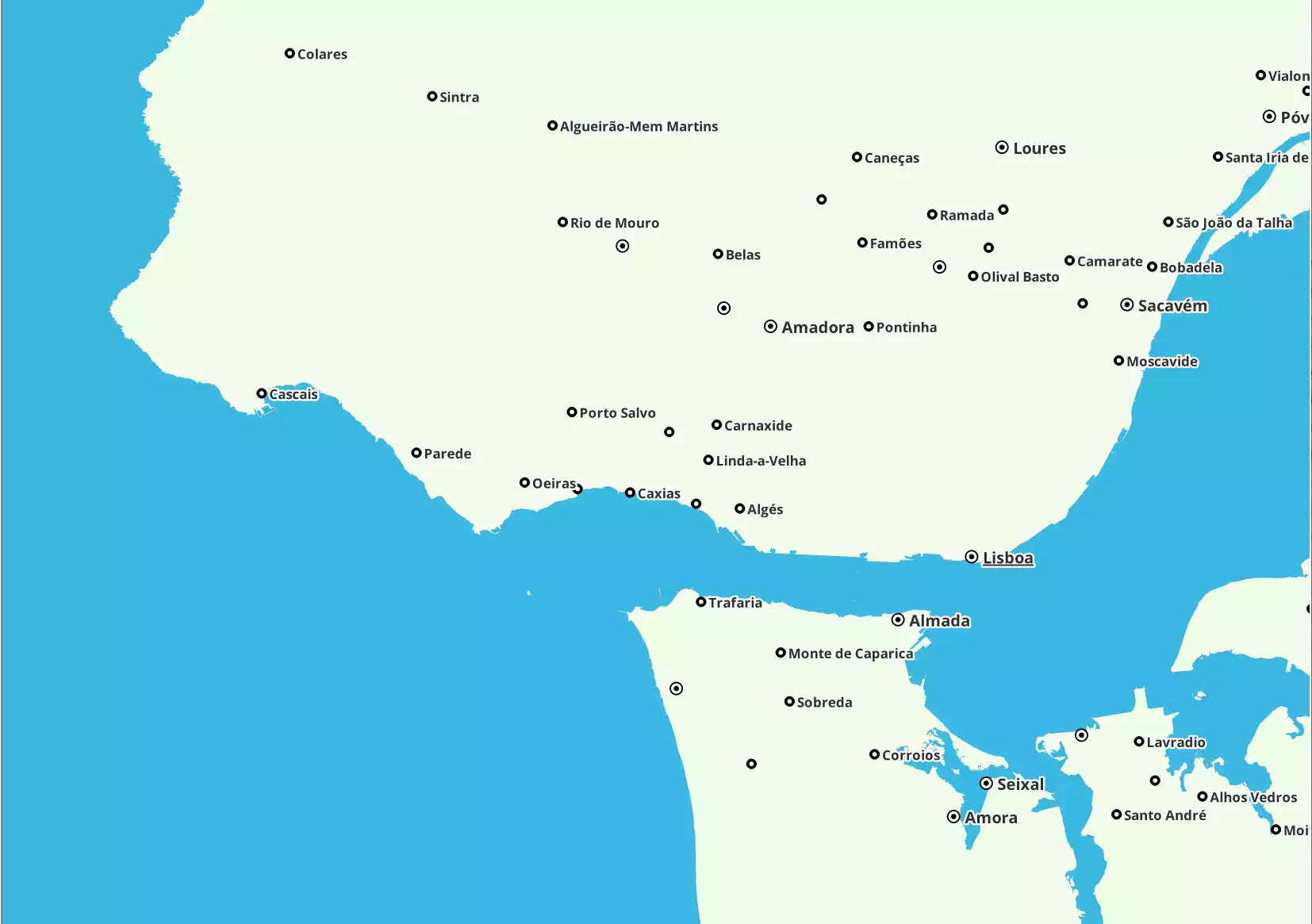
- osm_id — ID in OSM base
- name — Local name
- name_en — Name in English
- place — place field value
- official_s — official_status field value
- POPULATION — POPULATION field value
- is_capital — is_capital field value
- admin_level — Administrative grade value
- capital — capital field value
- way — Geometry

Power lines 5276
Fields of layer: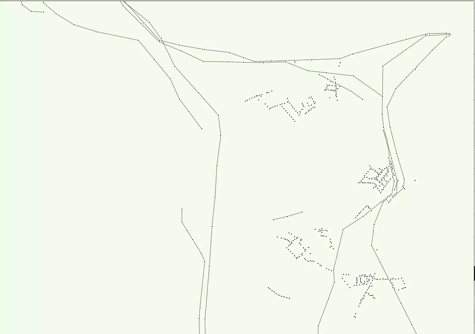
- osm_id — ID in OSM base
- name — Local name
- POWER — POWER field value
- VOLTAGE — VOLTAGE field value
- way — Geometry

Power line towers 19056
Fields of layer:
- osm_id — ID in OSM base
- name — Local name
- POWER — POWER field value
- VOLTAGE — VOLTAGE field value
- way — Geometry

Railway platforms 1564
Fields of layer: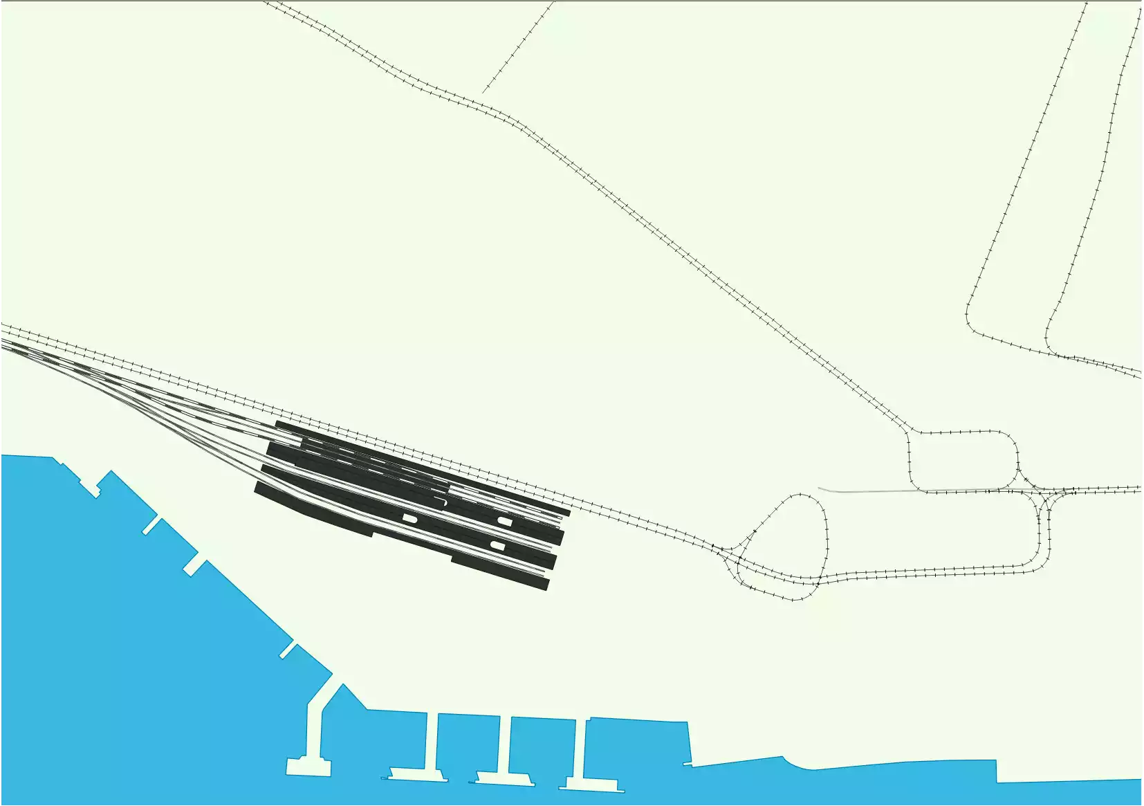
- osm_id — ID in OSM base
- name — Local name
- name_en — Name in English
- RAILWAY — RAILWAY field value
- way — Geometry

Railways 37915
Fields of layer: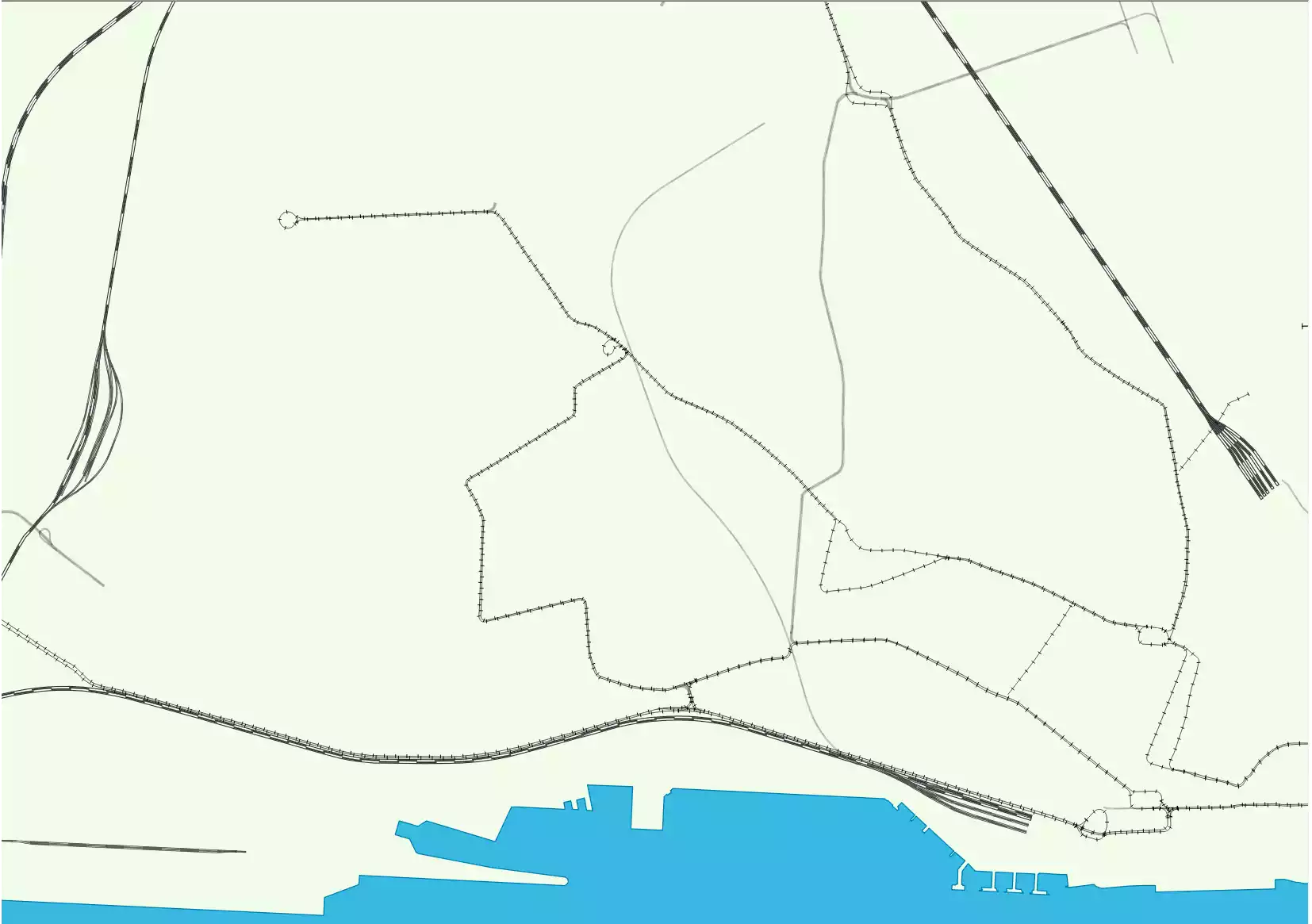
- osm_id — ID in OSM base
- name — Local name
- name_en — Name in English
- RAILWAY — RAILWAY field value
- traction — traction field value
- service — service field value
- BRIDGE — BRIDGE field value
- TUNNEL — TUNNEL field value
- way — Geometry

Railways (points) 2238
Fields of layer: 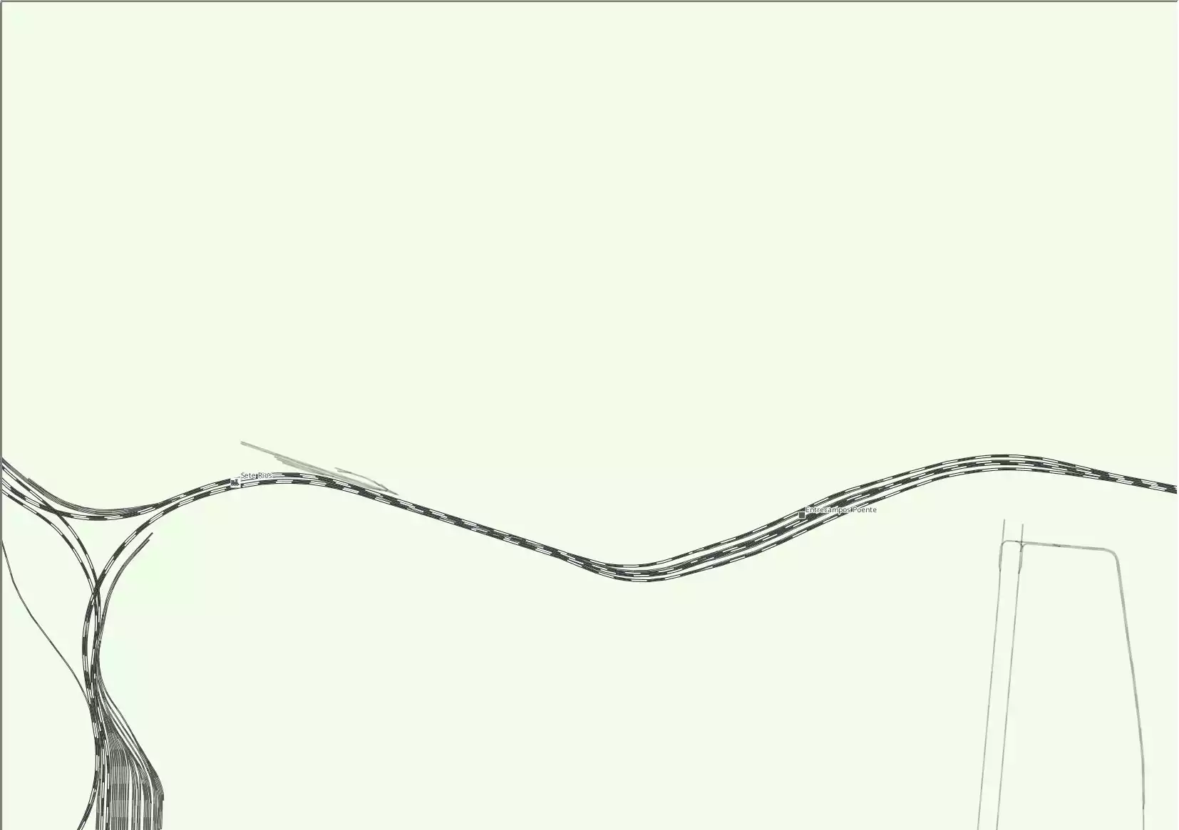
- osm_id — ID in OSM base
- name — Local name
- name_en — Name in English
- RAILWAY — RAILWAY field value
- public_transport — public_transport field value
- tram — tram field value
- station — station field value
- way — Geometry

Religion (areas) 5525
Fields of layer:
- osm_id — ID in OSM base
- name — Local name
- name_en — Name in English
- religion — religion field value
- way — Geometry

Religion (points) 6813
Fields of layer: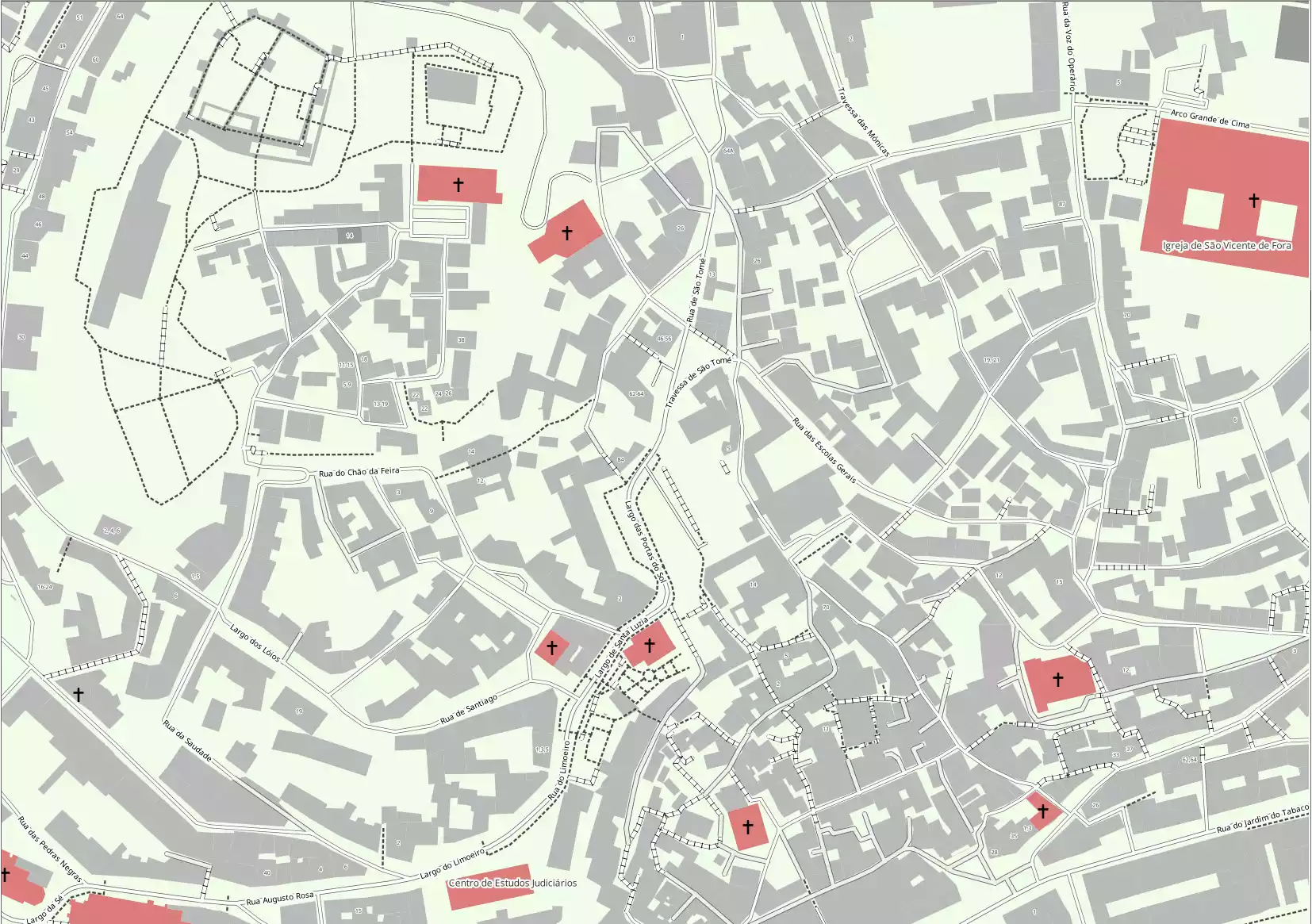
- osm_id — ID in OSM base
- name — Local name
- name_en — Name in English
- religion — religion field value
- way — Geometry

Roadside service 35
Fields of layer:
- osm_id — ID in OSM base
- name — Local name
- name_en — Name in English
- ref — ref field value
- HIGHWAY — HIGHWAY field value
- way — Geometry
Roads 2234970
Fields of layer: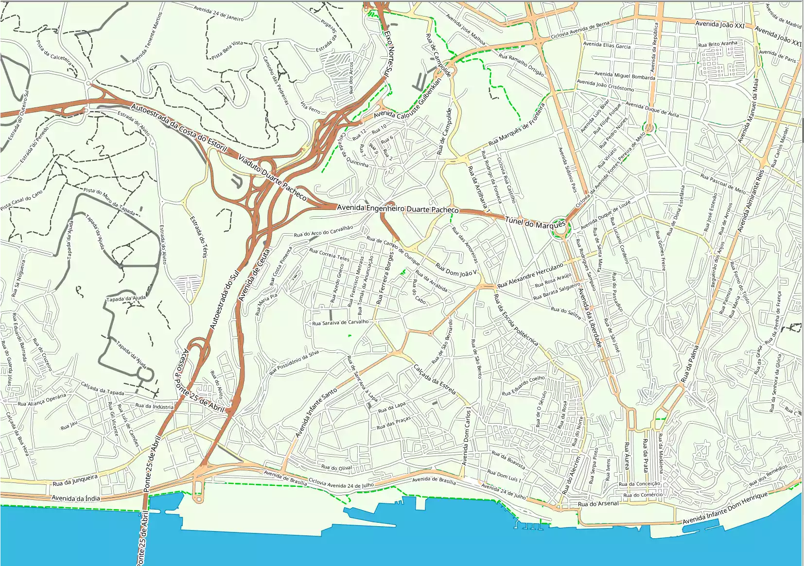
- osm_id — ID in OSM base
- name — Local name
- name_en — Name in English
- ref — ref field value
- HIGHWAY — HIGHWAY field value
- cycle — cycle field value
- horse — horse field value
- foot — foot field value
- lanes — lanes field value
- toll — toll field value
- width — width field value
- way — Geometry

Road infrastructure 170878
Fields of layer: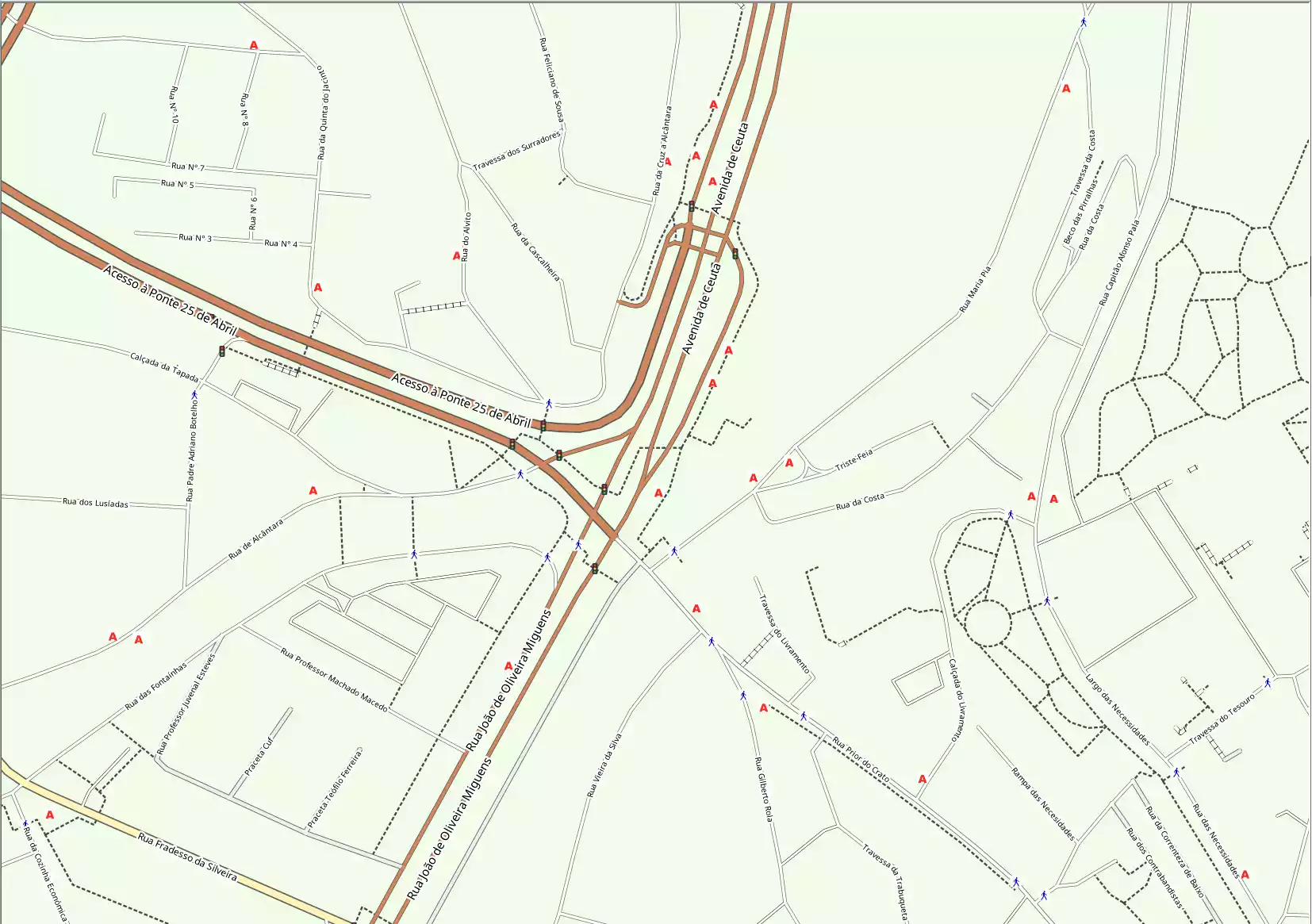
- osm_id — ID in OSM base
- name — Local name
- name_en — Name in English
- HIGHWAY — HIGHWAY field value
- railway — railway field value
- way — Geometry

Shop (areas) 2282
Fields of layer:
- osm_id — ID in OSM base
- name — Local name
- name_en — Name in English
- shop — shop field value
- way — Geometry

Shops (points) 55934
Fields of layer:
- osm_id — ID in OSM base
- name — Local name
- name_en — Name in English
- shop — shop field value
- way — Geometry

Sport (areas) 24972
Fields of layer:
- osm_id — ID in OSM base
- name — Local name
- name_en — Name in English
- sport — sport field value
- way — Geometry

Sport (points) 28145
Fields of layer:
- osm_id — ID in OSM base
- name — Local name
- name_en — Name in English
- sport — sport field value
- way — Geometry

Tourism (areas) 9772
Fields of layer:
- osm_id — ID in OSM base
- name — Local name
- name_en — Name in English
- TOURISM — TOURISM field value
- information — information field value
- historic — historic field value
- way — Geometry

Tourism (points) 48078
Fields of layer:
- osm_id — ID in OSM base
- name — Local name
- name_en — Name in English
- TOURISM — TOURISM field value
- information — information field value
- historic — historic field value
- way — Geometry

Routes 14416
Fields of layer:
- osm_id — ID in OSM base
- name — Local name
- name_en — Name in English
- ROUTE — ROUTE field value
- REF — REF field value
- OPERATOR — OPERATOR field value
- way — Geometry

Streams and ditches 181245
Fields of layer: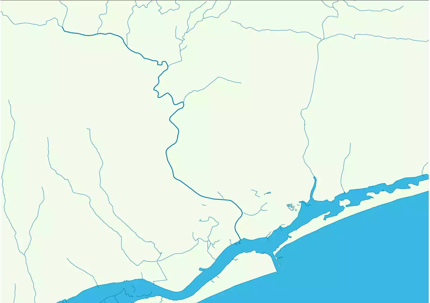
- osm_id — ID in OSM base
- name — Local name
- name_en — Name in English
- WATERWAY — WATERWAY field value
- way — Geometry

Lakes, swamps and large rivers 309235
Fields of layer: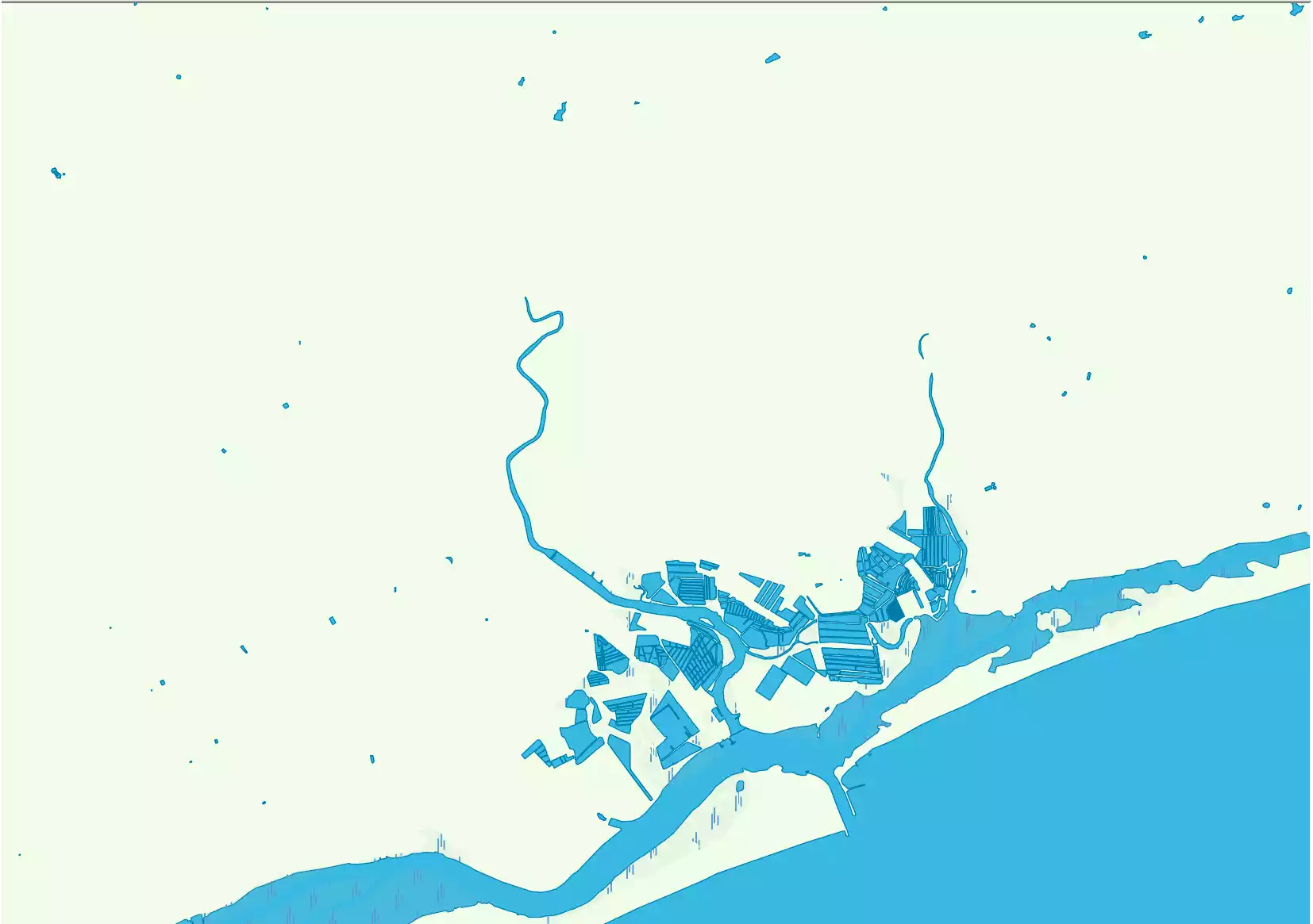
- osm_id — ID in OSM base
- name — Local name
- name_en — Name in English
- natural — Natural field value
- landuse — Landuse field value
- water — Water field is not null
- waterway — Waterway field value
- way — Geometry

Coastline 1
Fields of layer: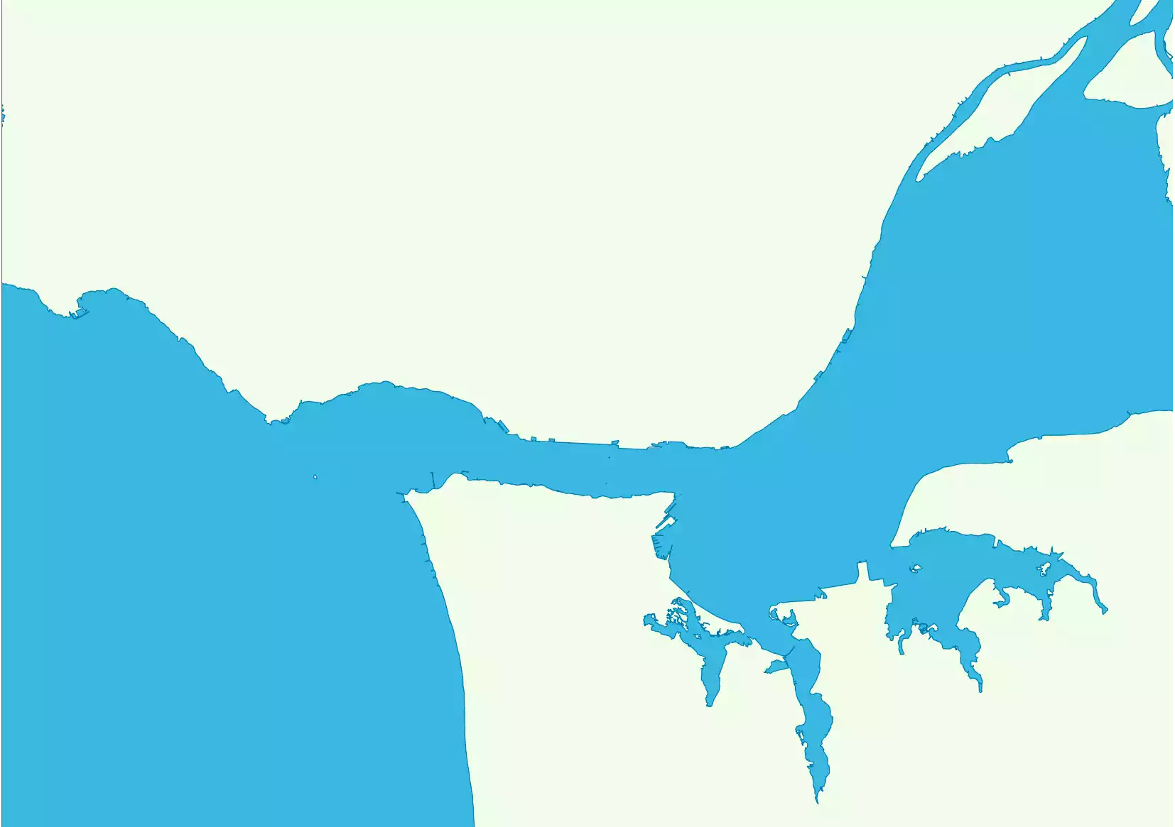
- id — Local ID

Land border 1
Fields of layer:
- id — Local ID

Ocean border 1
Fields of layer:
- id — Local ID

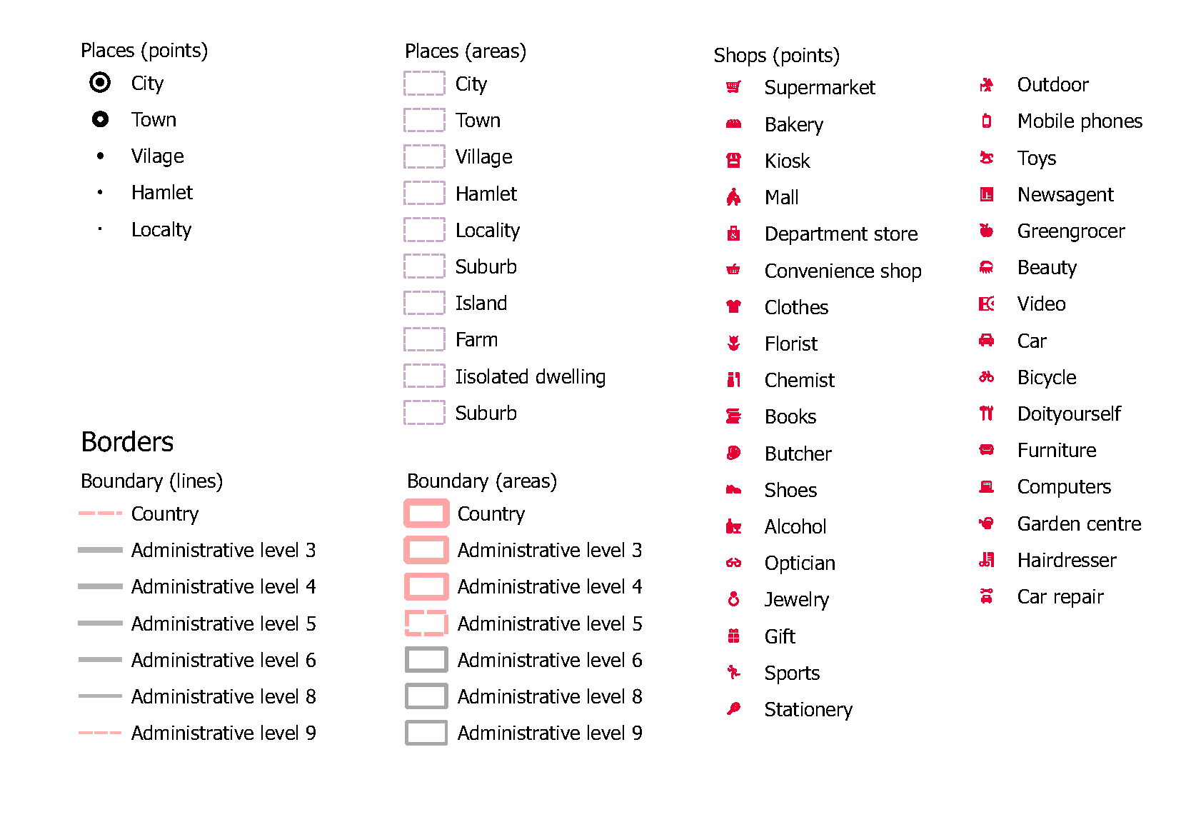
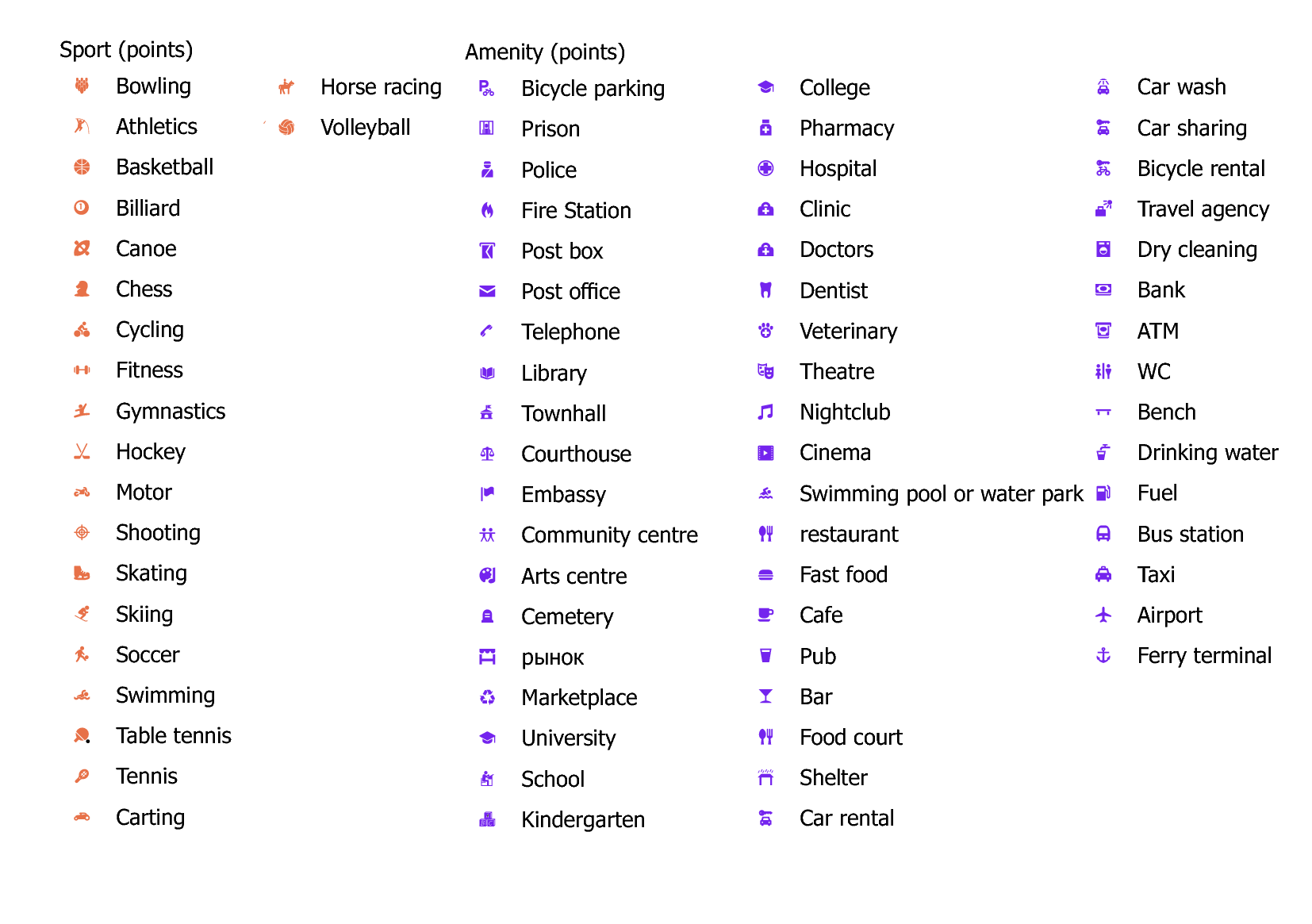
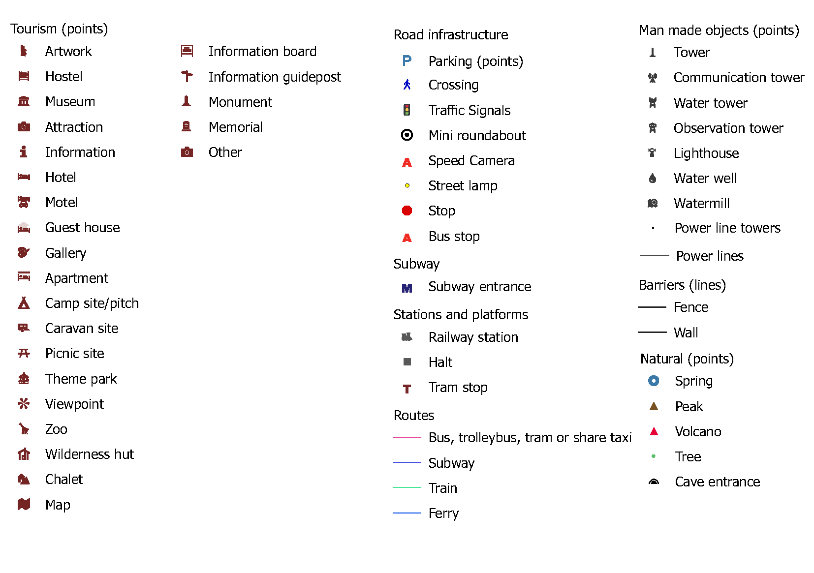
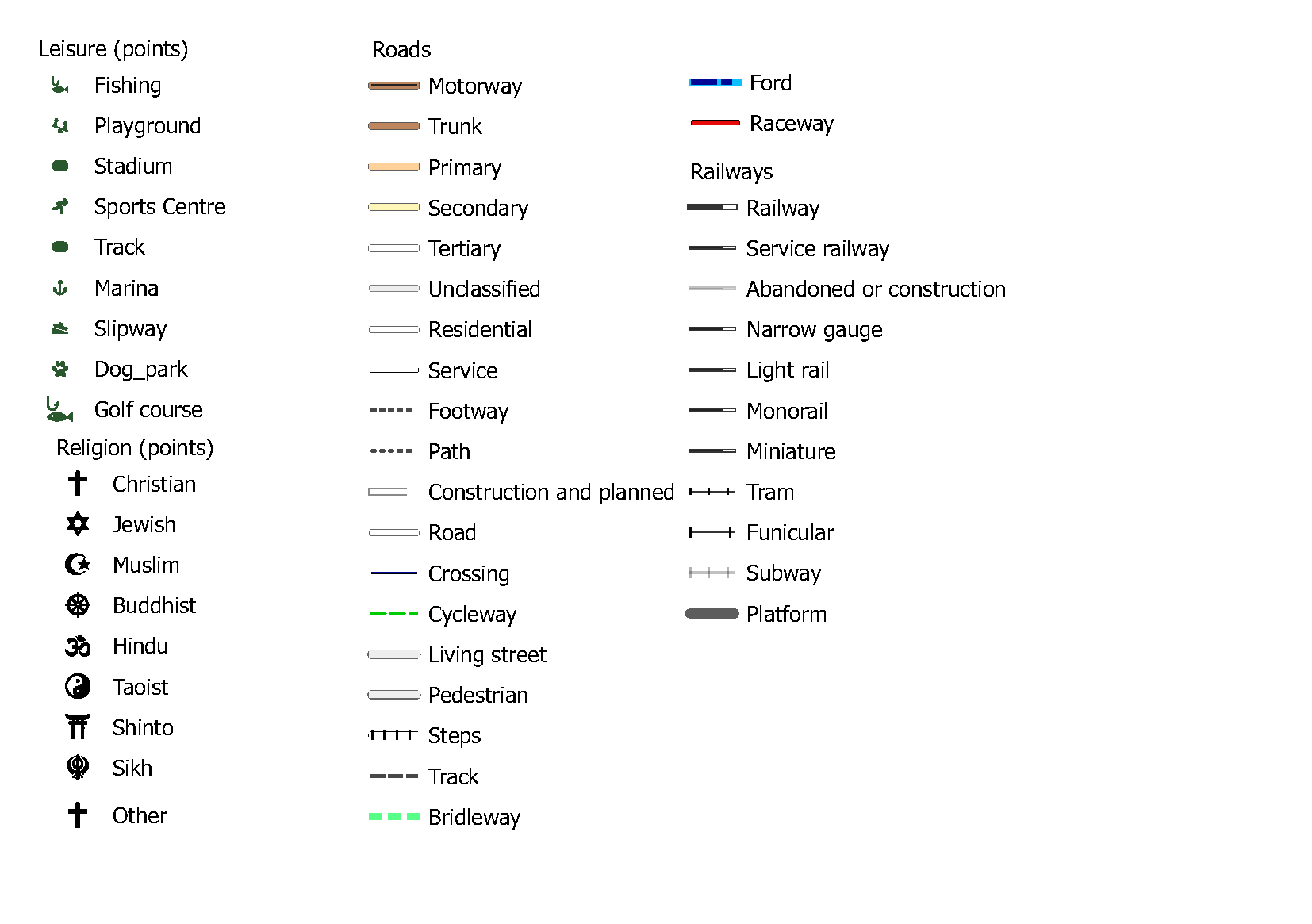
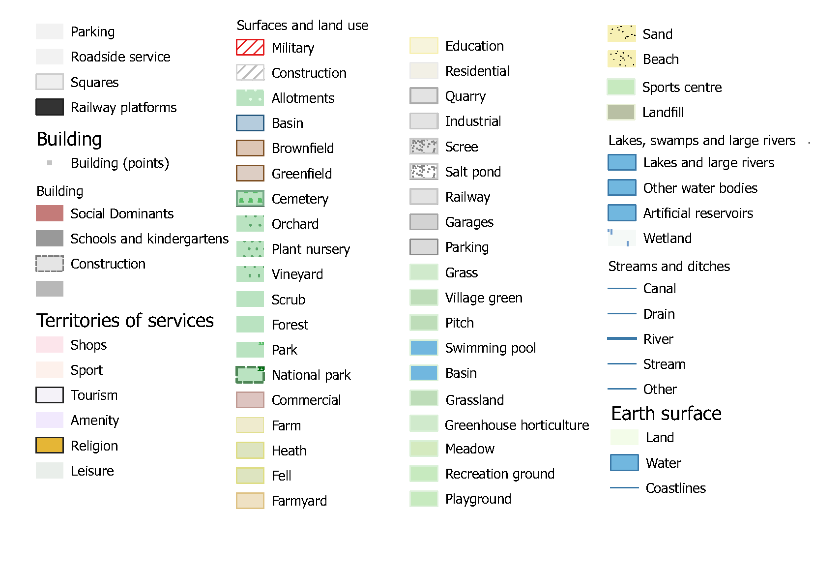
Legend of map of Netherlands and sample project
Statistics on objects in the Netherlands
Boundary / Boundary (lines)
| Name | Type | OSM Tag | Count |
| Countries | lines | admin_level = '2' | 557 |
| Administrative level 3 | lines | admin_level = '3' | 69 |
| Administrative level 4 | lines | admin_level = '4' | 872 |
| Administrative level 5 | lines | admin_level = '5' | 10 |
| Administrative level 6 | lines | admin_level = '6' | 85 |
| Administrative level 8 | lines | admin_level = '8' | 3509 |
| Administrative level 9 | lines | admin_level = '9' | 197 |
| Administrative level 10 | lines | admin_level = '10' | 7232 |
![.$row2[6].](/img/Boundary.webp)
Boundary / Boundary (Polygons)
| Name | Type | OSM Tag | Count |
| Countries | polygons | admin_level = '2' | 9 |
| Administrative level 3 | polygons | admin_level = '3' | 9 |
| Administrative level 4 | polygons | admin_level = '4' | 21 |
| Administrative level 8 | polygons | admin_level = '8' | 386 |
| Administrative level 9 | polygons | admin_level = '9' | 23 |
| Administrative level 10 | polygons | admin_level = '10' | 2547 |
| Places | polygons | place = 'city' / place = 'town' / place = 'village' / place = 'hamlet' / place = 'locality' / place = 'suburb' / place = 'island' / place = 'farm' / place = 'isolated_dwelling' | 679 |
![.$row2[6].](/img/Boundary2.webp)
Boundary of settlements and territories
| Name | Type | OSM Tag | Count |
| Town | polygons | place = 'town' | 2 |
| Village | polygons | place = 'village' | 6 |
| Hamlet | polygons | place = 'hamlet' | 30 |
| Locality | polygons | place = 'locality' | 386 |
| Suburb | polygons | place = 'suburb' | 60 |
| Island | polygons | place = 'island' | 102 |
| Farm | polygons | place = 'farm' | 20 |
| Isolated dwelling | polygons | place = 'isolated_dwelling' | 73 |
| Region or country | polygons | place = 'region' / place = 'county' | 21 |
Building (points)
| Name | Type | OSM Tag | Count |
| Building | points | building is not '' | 902 |
![.$row2[6].](/img/Building-points.webp)
Building (polygons)
| Name | Type | OSM Tag | Count |
| Building | polygons | building is not '' | 11371603 |
| Dominants | polygons | building = 'church' / building = 'government' / building = 'cathedral' / building = 'public' / building = 'hospital' / building = 'train_station' / building = 'chapel' / building = 'college' / building = 'university' | 5987 |
| Schools and kindergartens | polygons | building = 'school' / building = 'kindergarten' | 5852 |
| Under construction | polygons | building = 'construction' | 77314 |
![.$row2[6].](/img/Building-aria.webp)
Facilities and services / Facilities
| Name | Type | OSM Tag | Count |
| bicycle parking | points | amenity = 'bicycle_parking' | 6902 |
| police | points | amenity = 'police' | 308 |
| fire station | points | amenity = 'fire_station' | 735 |
| post box | points | amenity = 'post_box' | 8374 |
| post office | points | amenity = 'post_office' | 466 |
| telephone | points | amenity = 'telephone' | 116 |
| library | points | amenity = 'library' | 736 |
| townhall | points | amenity = 'townhall' | 404 |
| courthouse | points | amenity = 'courthouse' | 21 |
| prison | points | amenity = 'prison' | 8 |
| embassy | points | amenity = 'embassy' / office = 'diplomatic' | 209 |
| community centre | points | amenity = 'community_centre' | 1543 |
| nursing home | points | amenity = 'nursing_home' | 97 |
| arts centre | points | amenity = 'arts_centre' | 266 |
| cemetery | points | amenity = 'grave_yard' / landuse = 'cemetery' | 33 |
| marketplace | points | amenity = 'marketplace' | 163 |
| recycling | points | amenity = 'recycling' | 12733 |
| university | points | amenity = 'university' | 120 |
| school | points | amenity = 'school' | 3044 |
| kindergarten | points | amenity = 'kindergarten' | 848 |
| college | points | amenity = 'college' | 162 |
| pharmacy | points | amenity = 'pharmacy' | 1662 |
| hospital | points | amenity = 'hospital' | 60 |
| clinic | points | amenity = 'clinic' | 337 |
| doctors | points | amenity = 'doctors' | 1713 |
| dentist | points | amenity = 'dentist' | 1289 |
| veterinary | points | amenity = 'veterinary' | 503 |
| theatre | points | amenity = 'theatre' | 484 |
| nightclub | points | amenity = 'nightclub' | 202 |
| cinema | points | amenity = 'cinema' | 187 |
| swimming pool | points | amenity = 'swimming_pool' / leisure = 'swimming_pool' / sport = 'swimming' / leisure = 'water_park' | 543 |
| restaurant | points | amenity = 'restaurant' | 15302 |
| fast food | points | amenity = 'fast_food' | 7264 |
| cafe | points | amenity = 'cafe' | 4844 |
| pub | points | amenity = 'pub' | 3421 |
| bar, biergarten | points | amenity = 'bar' / amenity = 'biergarten' | 1274 |
| food court | points | amenity = 'food_court' | 33 |
| shelter | points | amenity = 'shelter' | 2964 |
| car rental | points | amenity = 'car_rental' | 195 |
| car wash | points | amenity = 'car_wash' | 773 |
| car sharing | points | amenity = 'car_sharing' | 125 |
| bicycle rental | points | amenity = 'bicycle_rental' | 388 |
| bank | points | amenity = 'bank' | 1013 |
| atm | points | amenity = 'atm' | 2237 |
| toilets | points | amenity = 'toilets' | 1841 |
| bench | points | amenity = 'bench' | 74151 |
| drinking water | points | amenity = 'drinking_water' | 2210 |
| fuel | points | amenity = 'fuel' | 3490 |
| bus station | points/polygons | amenity = 'bus_station' | 87 |
| taxi | points/polygons | amenity = 'taxi' | 227 |
| ferry terminal | points/polygons | amenity = 'ferry_terminal' | 797 |
![.$row2[6].](/img/Amenity.webp)
Facilities and Services / Places of Worship
| Name | Type | OSM Tag | Count |
| Christian churches | points | amenity = 'place_of_worship' + religion = 'christian' | 1049 |
| Synagogue | points | amenity = 'place_of_worship' + religion = 'jewish' | 15 |
| Mosque | points | amenity = 'place_of_worship' + religion = 'muslim' | 129 |
| Buddhist temple | points | amenity = 'place_of_worship' + religion = 'buddhist' | 20 |
| Hindu temple | points | amenity = 'place_of_worship' + religion = 'hindu' | 22 |
| Sikh temple | points | amenity = 'place_of_worship' + religion = 'sikh' | 6 |
![.$row2[6].](/img/Religion.webp)
Facilities and services / Recreation
| Name | Type | OSM Tag | Count |
| fishing | points | leisure = 'fishing' | 79 |
| playground | points/polygons | leisure = 'playground' | 7731 |
| sports centre | points/polygons | leisure = 'sports_centre' | 2099 |
| stadium | points/polygons | leisure = 'stadium' | 4 |
| track | points | leisure = 'track' | 28 |
| ice rink | points/polygons | leisure = 'ice_rink' | 84 |
| marina | points | leisure = 'marina' | 502 |
| slipway | points | leisure = 'slipway' | 590 |
| dog park | points | leisure = 'dog_park' | 168 |
| golf course | points | leisure = 'golf_course' | 10 |
![.$row2[6].](/img/Leisure.webp)
Facilities and Services / Shops and Services
| Name | Type | OSM Tag | Count |
| supermarket, general | points | shop = 'supermarket' / shop = 'general' | 4969 |
| bakery | points | shop = 'bakery' | 2995 |
| kiosk | points | shop = 'kiosk' | 334 |
| mall | points | shop = 'mall' | 88 |
| department store | points | shop = 'department_store' | 567 |
| convenience | points | shop = 'convenience' | 1305 |
| clothes | points | shop = 'clothes' | 9886 |
| florist | points | shop = 'florist' | 1652 |
| chemist | points | shop = 'chemist' | 2189 |
| books | points | shop = 'books' | 1222 |
| butcher | points | shop = 'butcher' | 1336 |
| shoes | points | shop = 'shoes' | 1792 |
| alcohol, beverages | points | shop = 'alcohol' / shop = 'beverages' | 1207 |
| optician | points | shop = 'optician' | 1603 |
| jewelry | points | shop = 'jewelry' | 1186 |
| gift | points | shop = 'gift' | 1084 |
| sports | points | shop = 'sports' | 695 |
| stationery | points | shop = 'stationery' | 133 |
| outdoor | points | shop = 'outdoor' | 242 |
| mobile phone | points | shop = 'mobile_phone' | 965 |
| toys | points | shop = 'toys' | 543 |
| newsagent | points | shop = 'newsagent' | 717 |
| greengrocer | points | shop = 'greengrocer' | 569 |
| beauty | points | shop = 'beauty' | 1364 |
| video | points | shop = 'video' | 23 |
| car | points | shop = 'car' | 1999 |
| bicycle | points | shop = 'bicycle' | 2396 |
| doityourself, hardwar | points | shop = 'doityourself' / shop = 'hardware' | 1314 |
| furniture | points | shop = 'furniture' | 1435 |
| computer | points | shop = 'computer' | 382 |
| garden centre | points | shop = 'garden_centre' | 562 |
| hairdresser | points | shop = 'hairdresser' | 5011 |
| car repair | points | shop = 'car_repair' | 1887 |
![.$row2[6].](/img/Shop.webp)
Facilities and services / Sports facilities
| Name | Type | OSM Tag | Count |
| Bowling | points | sport = '10pin' / sport = 'bowling' | 45 |
| athletics | points | sport = 'athletics' | 50 |
| basketball | points | sport = 'basketball' | 80 |
| canoe | points | sport = 'canoe' | 41 |
| chess | points | sport = 'chess' | 40 |
| cycling | points | sport = 'cycling' | 28 |
| fitness | points | sport = 'fitness' | 497 |
| gymnastics | points | sport = 'gymnastics' | 99 |
| hockey | points | sport = 'hockey' | 14 |
| motor | points | sport = 'motor' | 6 |
| shooting | points | sport = 'shooting' | 53 |
| skating | points | sport = 'skating' | 5 |
| skiing | points | sport = 'skiing' | 8 |
| soccer | points | sport = 'soccer' | 864 |
| swimming | points | sport = 'swimming' | 321 |
| table tennis | points | sport = 'table_tennis' | 494 |
| tennis | points | sport = 'tennis' | 311 |
| horse racing | points | sport = 'horse_racing' | 6 |
| volleyball | points | sport = 'volleyball' | 25 |
![.$row2[6].](/img/Sport.webp)
Facilities and services / Tourist facilities
| Name | Type | OSM Tag | Count |
| artwork | points/polygons | tourism = 'artwork' | 7239 |
| attraction | points/polygons | tourism = 'attraction' | 1056 |
| camp site | points/polygons | tourism = 'camp_site' | 774 |
| caravan site | points/polygons | tourism = 'caravan_site' | 237 |
| guest house | points/polygons | tourism = 'guest_house' | 1778 |
| hostel | points/polygons | tourism = 'hostel' | 151 |
| hotel | points | tourism = 'hotel' | 1987 |
| information | points/polygons | tourism = 'information' | 14499 |
| motel | points/polygons | tourism = 'motel' | 9 |
| museum | points/polygons | tourism = 'museum' | 1034 |
| picnic site | points | tourism = 'picnic_site' | 2475 |
| theme park | points/polygons | tourism = 'theme_park' | 20 |
| viewpoint | points | tourism = 'viewpoint' | 1804 |
| zoo | points/polygons | tourism = 'zoo' | 127 |
| chalet | points/polygons | tourism = 'chalet' | 795 |
| yes | points | tourism = 'yes' | 37 |
| map | points | information = 'map' | 3938 |
| board | points | information = 'board' | 4489 |
| guidepost | points | information = 'guidepost' | 4860 |
| monument | points | historic = 'monument' | 89 |
| memorial | points | historic = 'memorial' | 3419 |
| apartment | points | tourism = 'apartment' | 209 |
| camp pitch | points | tourism = 'camp_pitch' | 477 |
| gallery | points | tourism = 'gallery' | 210 |
![.$row2[6].](/img/Tourism.webp)
Ground surface
| Name | Type | OSM Tag | Count |
| Coastlines | lines | 1 | |
| Water surface | polygons | 1 | |
| Land boundaries | polygons | 1 |
![.$row2[6].](/img/Land.webp)
Hydrography / Lakes, large rivers, swamps
| Name | Type | OSM Tag | Count |
| Lakes and large rivers | polygons | natural = 'water' / waterway = 'riverbank' | 287433 |
| Wetland | polygons | natural = 'wetland' | 21482 |
| water' and water not | polygons | natural = 'water' + water is not 'river' + water is not 'reservoir' | 28444 |
![.$row2[6].](/img/Hydro.webp)
Hydrography / Rivers, streams, canals
| Name | Type | OSM Tag | Count |
| Canal | lines | waterway = 'canal' | 14941 |
| Drain | lines | waterway = 'drain' | 31673 |
| River | lines | waterway = 'river' | 2049 |
| Stream | lines | waterway = 'stream' | 48109 |
| Others | lines | waterway is not '' | 181245 |
![.$row2[6].](/img/Streems.webp)
Infrastructure / Fences
| Name | Type | OSM Tag | Count |
| Fence | lines | barrier = 'fence' | 47313 |
| Wall | lines | barrier = 'wall' | 14883 |
![.$row2[6].](/img/Fence.webp)
Infrastructure / Man-made objects
| Name | Type | OSM Tag | Count |
| Tower | points | man_made = 'tower' | 9851 |
| Cell tower | points | man_made = 'tower' + tower:type = 'communication' | 8884 |
| Water tower | points | man_made = 'water_tower' | 35 |
| Lookout tower | points | man_made = 'tower' + tower:type = 'observation' | 156 |
| Lighthouse | points | man_made = 'lighthouse' | 32 |
| Water well | points | man_made = 'water_well' | 361 |
| Watermill | points | man_made = 'watermill' | 46 |
Infrastructure / Power lines
| Name | Type | OSM Tag | Count |
| Power lines | lines | power is not '' | 6254 |
![.$row2[6].](/img/Power.webp)
Infrastructure / Towers Power lines
| Name | Type | OSM Tag | Count |
| Towers Power lines | points | power is not '' | 32460 |
![.$row2[6].](/img/Power.webp)
Natural objects
| Name | Type | OSM Tag | Count |
| Spring | points | natural = 'spring' | 395 |
| Peak | points | natural = 'peak' | 474 |
| Tree | points | natural = 'tree' | 427112 |
| Cave entrance | points | natural = 'cave_entrance' | 119 |
Settlements
| Name | Type | OSM Tag | Count |
| City | points | place = 'city' | 34 |
| Town | points | place = 'town' | 301 |
| Village | points | place = 'village' | 2349 |
| Hamlet | points | place = 'hamlet' | 4078 |
| Hamlet | points | place = 'locality' | 3016 |
| The capital | points | place = 'city' + is_capital = 'country' / admin_level = '2' / capital = 'yes' + 'admin_level' is null | 1 |
![.$row2[6].](/img/Settlements.webp)
Surfaces and land use
| Name | Type | OSM Tag | Count |
| Nature reserve | polygons | landuse = 'nature_reserve' | 2 |
| Allotments | polygons | landuse = 'allotments' | 2924 |
| Basin | polygons | landuse = 'basin' | 1243 |
| Brownfield | polygons | landuse = 'brownfield' | 597 |
| Cemetery | polygons | landuse = 'cemetery' | 4581 |
| Commercial | polygons | landuse = 'commercial' | 2109 |
| Construction | polygons | landuse = 'construction' | 3584 |
| Farm, farmland | polygons | landuse = 'farm' / landuse = 'farmland' | 177441 |
| Farmyard | polygons | landuse = 'farmyard' | 16508 |
| Forest | polygons | landuse = 'forest' / landuse = 'natural' | 561954 |
| Garages | polygons | landuse = 'garages' | 424 |
| Grass | polygons | landuse = 'grass' | 965070 |
| Greenfield | polygons | landuse = 'greenfield' | 326 |
| Industrial | polygons | landuse = 'industrial' | 6683 |
| Landfill | polygons | landuse = 'landfill' | 150 |
| Meadow | polygons | landuse = 'meadow' | 70461 |
| Quarry | polygons | landuse = 'quarry' | 178 |
| Railway | polygons | landuse = 'railway' | 1197 |
| Recreation ground | polygons | landuse = 'recreation_ground' | 858 |
| Reservoir | polygons | landuse = 'reservoir' | 92 |
| Residential | polygons | landuse = 'residential' | 31749 |
| Retail | polygons | landuse = 'retail' | 1632 |
| Village green | polygons | landuse = 'village_green' | 3453 |
| Vineyard | polygons | landuse = 'vineyard' | 189 |
| Plant nursery | polygons | landuse = 'plant_nursery' | 4885 |
| Education | polygons | landuse = 'education' | 497 |
| Park | polygons | leisure = 'park' | 4705 |
| Beach | polygons | natural = 'beach' | 2328 |
| Fell | polygons | natural = 'fell' | 13 |
| Grassland | polygons | natural = 'grassland' | 13575 |
| Heath | polygons | natural = 'heath' | 12152 |
| Sand | polygons | natural = 'sand' | 9897 |
| Scrub | polygons | natural = 'scrub' | 59241 |
![.$row2[6].](/img/Landuse.webp)
Territories of services and services / Facilities
| Name | Type | OSM Tag | Count |
| Amenity | polygons | amenity is not '' | 245962 |
![.$row2[6].](/img/Terr.webp)
Territories of services and services / Recreation
| Name | Type | OSM Tag | Count |
| Leisure | polygons | leisure is not '' | 88099 |
![.$row2[6].](/img/Terr.webp)
Territories of services and services / Religious objects
| Name | Type | OSM Tag | Count |
| Place of worship | polygons | amenity = 'place_of_worship' | 5525 |
| Place of worship | polygons | amenity = 'place_of_worship' | 5525 |
![.$row2[6].](/img/Terr.webp)
Territories of services and services / Shops and services
| Name | Type | OSM Tag | Count |
| Shop | polygons | shop is not '' | 3033 |
![.$row2[6].](/img/Terr.webp)
Territories of services and services / Sports facilities
| Name | Type | OSM Tag | Count |
| Sport | polygons | sport is not '' | 36171 |
![.$row2[6].](/img/Terr.webp)
Territories of services and services / Tourist objects
| Name | Type | OSM Tag | Count |
| Tourism | polygons | tourism is not '' | 9645 |
![.$row2[6].](/img/Terr.webp)
Transport / Parking
| Name | Type | OSM Tag | Count |
| parking | polygons | amenity = 'parking' | 102367 |
![.$row2[6].](/img/Terr.webp)
Transport / Public transport routes
| Name | Type | OSM Tag | Count |
| bus, tram, trolleybus | lines | route = 'bus' / route = 'trolleybus' / route = 'tram' / route = 'share_taxi' | 10109 |
| subway | lines | route = 'subway' | 372 |
| train | lines | route = 'train' | 3081 |
| ferry | lines | route = 'ferry' | 854 |
![.$row2[6].](/img/Routes.webp)
Transport / Railway platforms
| Name | Type | OSM Tag | Count |
| Platform | polygons | railway = 'platform' | 1564 |
![.$row2[6].](/img/Platforms.webp)
Transport / Railways
| Name | Type | OSM Tag | Count |
| Abandoned | lines | railway = 'abandoned' | 2172 |
| Construction | lines | railway = 'construction' | 86 |
| Light rail | lines | railway = 'light_rail' | 1064 |
| Narrow gauge | lines | railway = 'narrow_gauge' | 525 |
| Platform | lines | railway = 'platform' | 1045 |
| Railway | lines | railway = 'rail' + service is null | 15531 |
| Service railway | lines | railway = 'rail' + service is not null | 12751 |
| Subway | lines | railway = 'subway' | 1220 |
| tram | lines | railway = 'tram' | 3329 |
| monorail | lines | railway = 'monorail' | 20 |
| miniature | lines | railway = 'miniature' | 172 |
![.$row2[6].](/img/Railways.webp)
Transport / Road
| Name | Type | OSM Tag | Count |
| Trunk | lines | highway = 'trunk' / highway = 'trunk_link' | 10673 |
| Primary | lines | highway = 'primary' / highway = 'primary_link' | 46940 |
| Secondary | lines | highway = 'secondary' / highway = 'secondary_link' | 70757 |
| Tertiary | lines | highway = 'tertiary' / highway = 'tertiary_link' | 118781 |
| Unclassified | lines | highway = 'unclassified' | 242088 |
| Residential | lines | highway = 'residential' | 388310 |
| Service | lines | highway = 'service' | 395339 |
| Footway | lines | highway = 'footway' / highway = 'path' + foot = 'designated' | 449258 |
| Construction | lines | highway = 'construction' | 6372 |
| Road | lines | highway = 'road' | 88 |
| Cycleway | lines | highway = 'cycleway' / highway = 'path' + cycle = 'designated' | 239541 |
| Living street | lines | highway = 'living_street' | 28456 |
| Pedestrian | lines | highway = 'pedestrian' | 23466 |
| Steps | lines | highway = 'steps' | 22926 |
| Track | lines | highway = 'track' | 159572 |
| Bridleway | lines | highway = 'bridleway' / highway = 'path' + horse = 'designated' | 3283 |
| Raceway | lines | highway = 'raceway' | 235 |
![.$row2[6].](/img/Roads.webp)
Transport / Road infrastructure
| Name | Type | OSM Tag | Count |
| Crossing | points | highway = 'crossing' / railway = 'level_crossing' | 53228 |
| Traffic signals | points | highway = 'traffic_signals' | 40203 |
| Mini roundabout | points | highway = 'mini_roundabout' | 138 |
| Stop | points | highway = 'stop' | 771 |
| Speed camera | points | highway = 'speed_camera' | 589 |
| Street lamp | points | highway = 'street_lamp' | 29741 |
| Bus stop | points | highway = 'bus_stop' | 46208 |
![.$row2[6].](/img/Roadinf.webp)
Transport / Roadside service
| Name | Type | OSM Tag | Count |
| services | polygons | highway = 'services' | 35 |
Transport / Squares
| Name | Type | OSM Tag | Count |
| square | polygons | place = 'square' | 458 |
![.$row2[6].](/img/Squere.webp)
Transport / Stations and platforms
| Name | Type | OSM Tag | Count |
| Station | points | railway = 'station' | 570 |
| Halt | points | railway = 'halt' | 37 |
| Tram stop | points | railway = 'tram_stop' / public_transport = 'stop_position' + tram = 'yes' | 1402 |
| Subway entrance | points | railway = 'subway_entrance' | 229 |
![.$row2[6].](/img/Station.webp)
© Copyright 2023 Data/Maps OSM Today and OpenStreetMap Contributors | Map tiles by CartoDB, under CC BY 3.0. Data by OpenStreetMap, under ODbL.
